Toggle navigation
LMEC Home
Exhibitions
Georeferencing
Tools for Teachers
Collections
My Favorites
Sign Up / Log In
Search
Search the map portal
Map Collection
Map Collection
Map Sets
Search
Search
Search for
Search In
All Fields
Creator
Title
Subject
Place
Search All Digital Collections
Advanced Search
8942 Results
My Search
Start Over
More Like
commonwealth:7h149x05f
Remove constraint More Like: commonwealth:7h149x05f
Filter your Search
Place
North and Central America
6,170
United States
5,088
Massachusetts
2,134
Europe
1,396
Suffolk (county)
1,207
Boston
1,180
Canada
464
Asia
438
more
Place
»
Topic
Boston (Mass.)--Maps
752
United States--Maps
330
Real property--Massachusetts--Boston--Maps
195
Massachusetts--Maps
166
City planning--Massachusetts--Boston--Maps
157
Landowners--Massachusetts--Boston--Maps
142
New England--Maps
104
North America--Maps--Early works to 1800
103
more
Topic
»
Date
Date range begin
–
Date range end
Current results range from
1482
to
2023
View distribution
Creator
United States. Hydrographic Office
595
Boston Redevelopment Authority
162
O.H. Bailey & Co
148
Des Barres, Joseph F. W. (Joseph Frederick Wallet), 1722-1824
124
United States. Post Office Dept
120
Ptolemy, 2nd cent
100
Walling, Henry Francis, 1825-1888
94
Geological Survey (U.S.)
88
more
Creator
»
Format
Maps/Atlases
8,882
Manuscripts
218
Prints
56
Books
36
Objects/Artifacts
10
Drawings/Illustrations
8
Posters
5
Georeferenced
Yes
887
No
8,055
Collection
Norman B. Leventhal Map & Education Center Collection
8,729
Boston and New England Maps
2,358
Urban Maps
2,143
Maritime Charts and Atlases
1,084
American Revolutionary War-Era Maps
707
Boston Redevelopment Authority Collection
191
William L. Clements Library Collection
43
Maps from AAS
33
more
Collection
»
Available to use
No known restrictions
8,670
Creative Commons license
76
Search Constraints
Sort by relevance
relevance
title
date (asc)
date (desc)
Number of results to display per page
20 per page
10
per page
20
per page
50
per page
100
per page
View results as:
grid view
map view
Search Results
6121.
Northern Alabama and Georgia
6122.
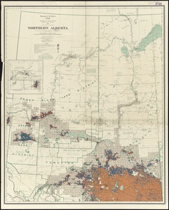
Northern Alberta : map showing disposition of lands
6123.
Northern Alberta : map showing disposition of lands
6124.
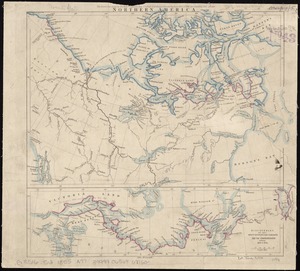
Northern America
6125.
Northern Arabia
6126.
Northern Georgia with portions of adjacent states
6127.
Northern interior
6128.
Northern Mississippi and Alabama
6129.
[Northern Mississippi and Alabama
6130.
Northern New Jersey, showing the iron-ore & limestone districts
6131.
Northern Pacific Rail Road and connections
6132.
Northern part of Florida
6133.
Northern Philippines land utilization
6134.
Northern provinces of the United States
6135.
Northumbria, Cumberlandia, et Dunelmensis Episcopatus
6136.
Northwest Africa
6137.
Northwestern Georgia : (with portions of the adjoining states of Tennessee and Alabama) being part of the Department of the...
6138.
Northwestern part of Lake Huron
6139.
Norton, Massachusetts : 1891
6140.
Norvegia regnum divisum in suos dioeceses Nidrosiensem, Bergensem, Opsloensem, et Stavangriensem et praefecturam Bahusiae quae...
‹ Prev
Next ›
1
2
…
303
304
305
306
307
308
309
310
311
…
447
448