Toggle navigation
LMEC Home
Exhibitions
Georeferencing
Tools for Teachers
Collections
My Favorites
Sign Up / Log In
Search
Search the map portal
Map Collection
Map Collection
Map Sets
Search
Search
Search for
Search In
All Fields
Creator
Title
Subject
Place
Search All Digital Collections
Advanced Search
8740 Results
My Search
Start Over
More Like
commonwealth:7h149w919
Remove constraint More Like: commonwealth:7h149w919
Filter your Search
Place
North and Central America
5,961
United States
4,844
Massachusetts
2,079
Europe
1,396
Suffolk (county)
1,046
Boston
1,019
Canada
449
Asia
438
more
Place
»
Topic
Boston (Mass.)--Maps
586
United States--Maps
283
Real property--Massachusetts--Boston--Maps
175
Massachusetts--Maps
162
Landowners--Massachusetts--Boston--Maps
133
North America--Maps--Early works to 1800
103
New England--Maps
102
North America--Maps
85
more
Topic
»
Date
Date range begin
–
Date range end
Current results range from
1482
to
2023
View distribution
Creator
United States. Hydrographic Office
595
O.H. Bailey & Co
148
Des Barres, Joseph F. W. (Joseph Frederick Wallet), 1722-1824
123
United States. Post Office Dept
120
Ptolemy, 2nd cent
100
Walling, Henry Francis, 1825-1888
94
Jefferys, Thomas, -1771
87
Geological Survey (U.S.)
86
more
Creator
»
Format
Maps/Atlases
8,680
Manuscripts
215
Prints
56
Books
36
Objects/Artifacts
10
Drawings/Illustrations
8
Posters
5
Georeferenced
Yes
872
No
7,868
Collection
Norman B. Leventhal Map & Education Center Collection
8,695
Boston and New England Maps
2,233
Urban Maps
2,023
Maritime Charts and Atlases
1,083
American Revolutionary War-Era Maps
661
Boston Redevelopment Authority Collection
87
Maps from AAS
17
William L. Clements Library Collection
12
more
Collection
»
Available to use
No known restrictions
8,553
Creative Commons license
58
Search Constraints
Sort by relevance
relevance
title
date (asc)
date (desc)
Number of results to display per page
20 per page
10
per page
20
per page
50
per page
100
per page
View results as:
grid view
map view
Search Results
2601.
Great circle sailing chart of the North Atlantic Ocean
2602.
Great circle sailing chart of the North Pacific Ocean
2603.
The great landowners of England & Wales
2604.
Great Lew Chew and its dependencies
2605.
The great north woods tourist and fishing district of Wisconsin : ideal location for summer homes
2606.
Great Northern Railway and proprietary lines
2607.
The great overflow : inundated districts of the Mississippi Valey [sic]
2608.
The great transit desert
2609.
Greater Macon
2610.
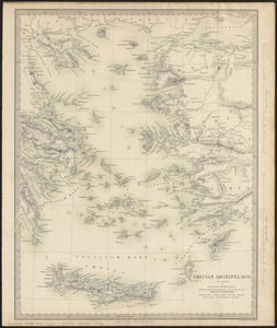
Grecian Archipelago (ancient)
2611.
The Grecian archipelago, from the latest surveys
2612.
Greece, Archipelago and part of Anadoli
2613.
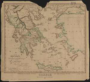
Greece from the latest and best authorities
2614.
Greece with part of Anatolia = La Graecia con parte della Natolia
2615.
Green County, Wis.
2616.
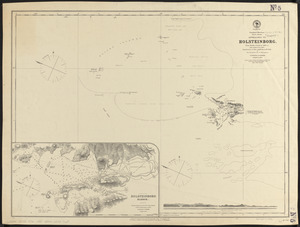
Greenland, west coast, Davis Strait, approaches to Holsteinborg : from British surveys of 1853-4, with additions to 1875
2617.
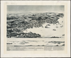
Greens Landing, Me
2618.
Greenville, N.H : 1886
2619.
Griechenland zur zeit des Peloponnesischen Krieges, nach den glaubwürdigsten geschichtsschreibern
2620.
Grondtekening van de stad en forten van St. Iago = Plan de la ville et des forts de St. Yago
‹ Prev
Next ›
1
2
…
127
128
129
130
131
132
133
134
135
…
436
437