Search Constraints
Search Results


7008. P.W.A. in action

7009. PWA rebuilds the nation

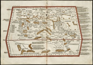
7011. Quarta Africae tabula

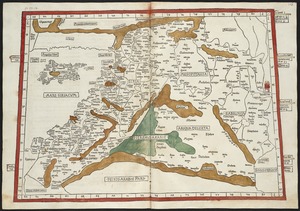
7012. Quarta Asiae tabula

7015. Quarta Europae tabula

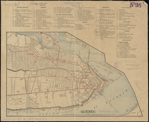
7017. Quebec
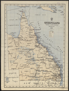
7018. Queensland
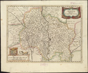
7019. Quercy : Cadurcium