Toggle navigation
LMEC Home
Exhibitions
Georeferencing
Tools for Teachers
Collections
My Favorites
Sign Up / Log In
Search
Search the map portal
Map Collection
Map Collection
Map Sets
Search
Search
Search for
Search In
All Fields
Creator
Title
Subject
Place
Search All Digital Collections
Advanced Search
1131 Results
My Search
Start Over
More Like
commonwealth:7d27f3712
Remove constraint More Like: commonwealth:7d27f3712
Filter your Search
Place
North and Central America
1,081
United States
957
Boston
743
Suffolk (county)
743
Massachusetts
641
North America
68
Canada
59
Downtown Boston
35
more
Place
»
Topic
Boston (Mass.)--Maps
752
City planning--Massachusetts--Boston--Maps
104
Real property--Massachusetts--Boston--Maps
99
Landowners--Massachusetts--Boston--Maps
74
Urban renewal--Massachusetts--Boston--Maps
63
North America--Maps--Early works to 1800
59
Massachusetts--Maps
50
Local transit--Massachusetts--Boston--Maps
47
more
Topic
»
Date
Date range begin
–
Date range end
Current results range from
1623
to
2023
View distribution
Creator
Boston Redevelopment Authority
114
Geo. H. Walker & Co
27
Boynton, George W., d. 1884
21
Sampson, Davenport & Co
21
Sampson, Murdock & Co
20
Bromley, George Washington
18
Jefferys, Thomas, -1771
18
Bromley, Walter Scott
17
more
Creator
»
Format
Maps/Atlases
1,129
Manuscripts
12
Paintings
3
Ephemera
1
Objects/Artifacts
1
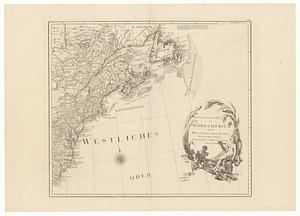
Prints
1
Georeferenced
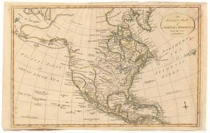
Yes
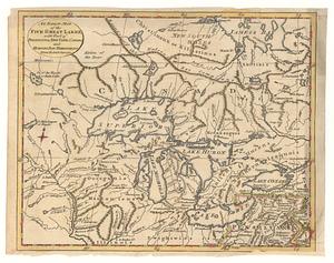
96
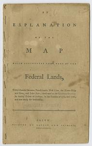
No
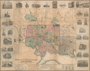
1,035
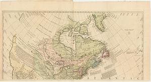
Collection
Norman B. Leventhal Map & Education Center Collection
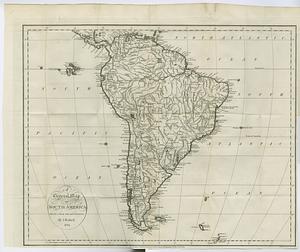
615
Boston and New England Maps
579
Urban Maps
490
MacLean Collection Map Library
379
American Revolutionary War-Era Maps
355
Boston Redevelopment Authority Collection
120
Mapping Boston Collection
20
Massachusetts Real Estate Atlases
12
more
Collection
»
Available to use
No known restrictions
686
Creative Commons license
34
Search Constraints
Sort by relevance
relevance
title
date (asc)
date (desc)
Number of results to display per page
20 per page
10
per page
20
per page
50
per page
100
per page
View results as:
grid view
map view
Search Results
101.
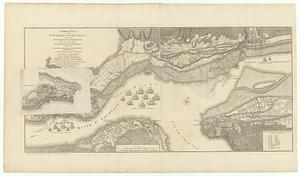
A correct plan of the environs of Quebec, and of the battle fought on the 13.th September, 1759 : together with a particular...
102.
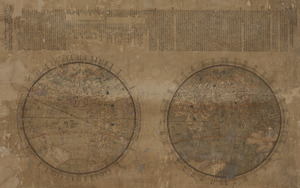
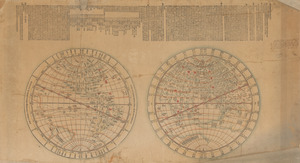
Daqing tong zhigong wanguo jingwei diqiushi fangyu gujin tu
103.
Daqing tong zhigong wanguo jingwei diqiushi fangyu gujin tu
104.
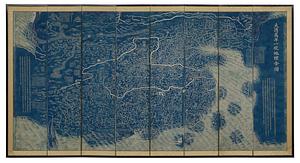
Daqing wannian yitong dili quantu
105.
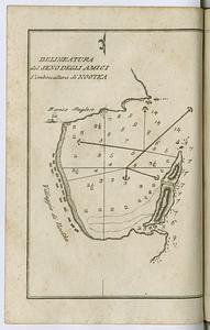
Delineatura del Seno degli Amici l'imboccatura di Nootka
106.
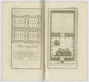
Disposition des quatre isles ou quartiers qui forment la Nouvlle. Orleans avec leurs parapets et les fosses dont its sont...
107.
Dongguk yojido
108.
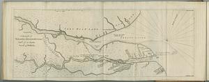
A draught of Nelson & Hayes's Rivers latd. 57°. 10'. north, var. 16°. 45'. westerly
109.
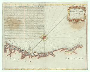
A draught of South Carolina and Georgia from Sewee to St. Estaca
110.
Esquisse des rivieres Muskinghum et Grand Castor que j'ai tiree du journal du General Bouquet, des papiers que m'ont confies...
111.
Les Etats Unis de l'Amérique Septentrional partie occidentale ; les Etats Unis de l'Amérique Septentrional partie orientale
112.
Etats-Unis de l'Amérique Septentrionale avec les Isles Royale, de Terre Neuve, de S.t Jean, l'Acadie, &c.
113.
An exact chart of the river S.t Laurence, from Fort Frontenac to the island of Anticosti shewing the soundings, rocks, shoals...
114.
An exact map of North America from the best authorities
115.
An exact map of the five great lakes, with part of Pensilvania, New York, Canada and Hudson Bay territories : from the best...
116.
An explanation of the map which delineates that part of the federal lands, comprehended between Pennsylvania west line, the...
117.
F. Klemm's map of Baltimore and the proposed extension of the city limits
118.
General karte von Nord America samt den Westindischen Inseln
119.
A general map of North America; in which is express'd the several new roads, forts, engagements, &c. taken from actual surveys...
120.
A general map of South America : drawn from the best surveys
‹ Prev
Next ›
1
2
3
4
5
6
7
8
9
10
…
56
57