Toggle navigation
LMEC Home
Exhibitions
Georeferencing
Tools for Teachers
Collections
My Favorites
Sign Up / Log In
Search
Search the map portal
Map Collection
Map Collection
Map Sets
Search
Search
Search for
Search In
All Fields
Creator
Title
Subject
Place
Search All Digital Collections
Advanced Search
9052 Results
My Search
Start Over
More Like
commonwealth:7d27c9549
Remove constraint More Like: commonwealth:7d27c9549
Filter your Search
Place
North and Central America
6,283
United States
5,201
Massachusetts
2,155
Suffolk (county)
1,403
Europe
1,396
Boston
1,376
Canada
449
Asia
438
more
Place
»
Topic
Boston (Mass.)--Maps
677
City planning--Massachusetts--Boston--Maps
418
United States--Maps
282
Urban renewal--Massachusetts--Boston--Maps
252
Real property--Massachusetts--Boston--Maps
217
Massachusetts--Maps
162
Landowners--Massachusetts--Boston--Maps
136
North America--Maps--Early works to 1800
103
more
Topic
»
Date
Date range begin
–
Date range end
Current results range from
1482
to
2023
View distribution
Creator
United States. Hydrographic Office
595
Boston Redevelopment Authority
390
O.H. Bailey & Co
148
Des Barres, Joseph F. W. (Joseph Frederick Wallet), 1722-1824
123
United States. Post Office Dept
120
Ptolemy, 2nd cent
100
Walling, Henry Francis, 1825-1888
94
Geological Survey (U.S.)
86
more
Creator
»
Format
Maps/Atlases
8,991
Manuscripts
215
Prints
56
Books
36
Objects/Artifacts
10
Drawings/Illustrations
9
Posters
5
Georeferenced
Yes
870
No
8,182
Collection
Norman B. Leventhal Map & Education Center Collection
8,696
Boston and New England Maps
2,586
Urban Maps
2,373
Maritime Charts and Atlases
1,083
American Revolutionary War-Era Maps
620
Boston Redevelopment Authority Collection
438
William L. Clements Library Collection
3
Mapping Boston Collection
2
more
Collection
»
Available to use
No known restrictions
8,904
Creative Commons license
49
Search Constraints
Sort by relevance
relevance
title
date (asc)
date (desc)
Number of results to display per page
20 per page
10
per page
20
per page
50
per page
100
per page
View results as:
grid view
map view
Search Results
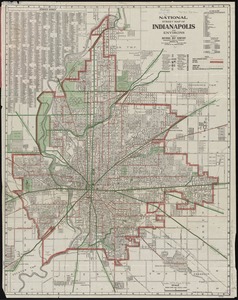
5321.
National street map of Indianapolis and environs
5322.
National topographic map of Massachusetts and Rhode Island : showing counties, townships, cities, villages and post offices ......
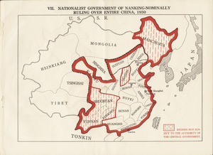
5323.
Nationalist government of Nanking - nominally ruling over entire China, 1930
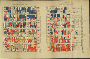
5324.
Nationalities map no. 1 - Polk Street to Twelfth, Halsted Street to Jefferson, Chicago ; Nationalities map no. 2 - Polk Street...
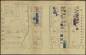
5325.
Nationalities map no. 3 - Polk Street to Twelfth, Beach Street to Pacific Avenue, Chicago ; Nationalities map no. 4 - Polk...
5326.
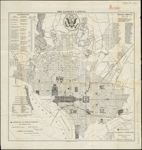
The nation's capital : [Washington D.C.]
5327.
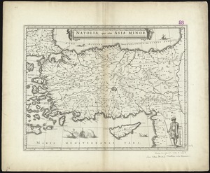
Natolia, quae olim Asia Minor
5328.
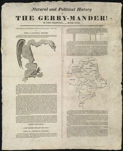
Natural and political history of the Gerry-mander! : In two chapters
5329.
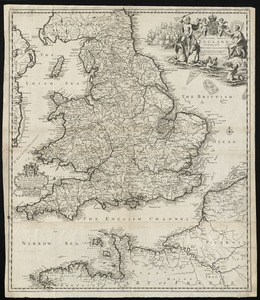
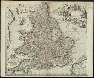
The natural shape of England with the names of rivers, seaports, sands, hills, moors, forrests, and many other remarks which...
5330.
The natural shape of England with the names of rivers, seaports, sands, hills, moors, forrests, and many other remarks which...
5331.
Navajoland, U.S.A.
5332.
Naval chart of the Pacific and western Atlantic
5333.
Navigation à vapeur dans le bassin de la Méditerranée et chemins de fer de l'Europe Centrale
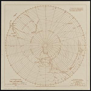
5334.
Navigational chart of the Antarctic
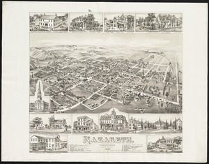
5335.
Nazareth : Pennsylvania
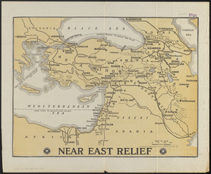
5336.
Near East Relief
5337.
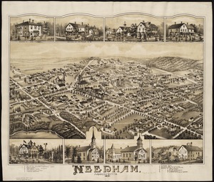
Needham, Massachusetts, 1887
5338.
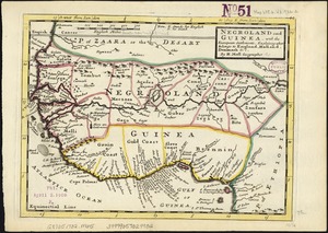
Negroland and Guinea : with the European settlements explaining what belongs to England, Holland, Denmark &c
5339.
Neighborhood and census tract boundaries 1980
5340.
Neighborhoods of Boston
‹ Prev
Next ›
1
2
…
263
264
265
266
267
268
269
270
271
…
452
453