Toggle navigation
LMEC Home
Exhibitions
Georeferencing
Tools for Teachers
Collections
My Favorites
Sign Up / Log In
Search
Search the map portal
Map Collection
Map Collection
Map Sets
Search
Search
Search for
Search In
All Fields
Creator
Title
Subject
Place
Search All Digital Collections
Advanced Search
8718 Results
My Search
Start Over
More Like
commonwealth:6t053q240
Remove constraint More Like: commonwealth:6t053q240
Filter your Search
Place
North and Central America
5,949
United States
4,859
Massachusetts
2,079
Europe
1,396
Suffolk (county)
1,046
Boston
1,019
Canada
451
Asia
438
more
Place
»
Topic
Boston (Mass.)--Maps
586
United States--Maps
282
Real property--Massachusetts--Boston--Maps
175
Massachusetts--Maps
162
Landowners--Massachusetts--Boston--Maps
133
North America--Maps--Early works to 1800
104
New England--Maps
102
Europe--Maps
79
more
Topic
»
Date
Date range begin
–
Date range end
Current results range from
1482
to
2023
View distribution
Creator
United States. Hydrographic Office
595
O.H. Bailey & Co
148
Des Barres, Joseph F. W. (Joseph Frederick Wallet), 1722-1824
123
United States. Post Office Dept
120
Ptolemy, 2nd cent
100
Walling, Henry Francis, 1825-1888
94
Geological Survey (U.S.)
86
Jefferys, Thomas, -1771
86
more
Creator
»
Format
Maps/Atlases
8,658
Manuscripts
215
Prints
56
Books
36
Objects/Artifacts
10
Drawings/Illustrations
8
Posters
5
Georeferenced
Yes
871
No
7,847
Collection
Norman B. Leventhal Map & Education Center Collection
8,696
Boston and New England Maps
2,233
Urban Maps
2,023
Maritime Charts and Atlases
1,083
American Revolutionary War-Era Maps
635
Boston Redevelopment Authority Collection
87
MacLean Collection Map Library
8
New York Public Library Collection
8
more
Collection
»
Available to use
No known restrictions
8,552
Creative Commons license
61
Search Constraints
Sort by relevance
relevance
title
date (asc)
date (desc)
Number of results to display per page
20 per page
10
per page
20
per page
50
per page
100
per page
View results as:
grid view
map view
Search Results
21.
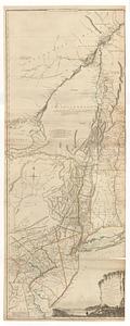
A map of the province of New York, with part of Pensilvania, and New England
22.
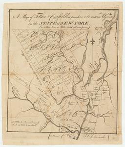
A map of Tottin & Crosfields purchase & the waters adjacent in the state of New-York
23.
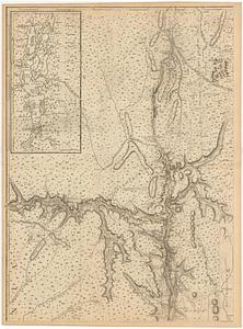
Map of western New York state, marking land plots around Lac Oneida
24.
Mappa geographica Provinciæ Nova Eboraci ab Anglis New-York : dictæ ex ampliori delineatione ad exactas dimensiones concinnata...
25.
New England and New York
26.
Noua Anglia, Nouum Belgium, et Virginia
27.
Nouvelle Angleterre et Nouvel York
28.
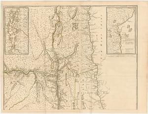
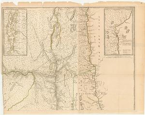
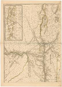
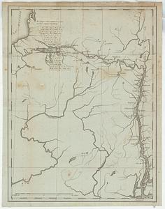
La Pensilvania, la Nuova York, il Jersey Settentrio[na]le : con la parte occidentale del Connecticut, Massachusset-s-bay e...
29.
Province de New-York en 4. feuilles
30.
Province de New-York en 4. feuilles
31.
Province de New-York en 4. feuilles par Montresor
32.
The provinces of New York, and New Jersey; with part of Pensilvania, and the governments of Trois Rivières, and Montreal
33.
The provinces of New York, and New Jersey; with part of Pensilvania, and the governments of Trois Rivieres, and Montreal
34.
The state of New York, compiled from the most authentic information, 1796
35.
The 100th anniversary map of Abraham Lincoln's visit to Massachusetts, September 11-23, 1848
36.
1630 shoreline
37.
1879. Progress map of the U.S. Geographical Surveys west of the 100th Meridian : prepared under the direction of 1st Lieut....
38.
1903 Map of Salem and surrounding places
39.
19th annual convention of the National Association of Real Estate Boards : at Tulsa, June 7 to June 11 in 1926
40.
2005 significant U.S. hurricane strikes
‹ Prev
Next ›
1
2
3
4
5
6
…
435
436


![La Pensilvania, la Nuova York, il Jersey Settentrio[na]le](https://bpldcassets.blob.core.windows.net/derivatives/images/commonwealth:z603vq53g/image_thumbnail_300.jpg)