Toggle navigation
LMEC Home
Exhibitions
Georeferencing
Tools for Teachers
Collections
My Favorites
Sign Up / Log In
Search
Search the map portal
Map Collection
Map Collection
Map Sets
Search
Search
Search for
Search In
All Fields
Creator
Title
Subject
Place
Search All Digital Collections
Advanced Search
8764 Results
My Search
Start Over
More Like
commonwealth:6t053p90c
Remove constraint More Like: commonwealth:6t053p90c
Filter your Search
Place
North and Central America
5,995
United States
4,909
Massachusetts
2,086
Europe
1,396
Suffolk (county)
1,046
Boston
1,019
Canada
458
Asia
438
more
Place
»
Topic
Boston (Mass.)--Maps
586
United States--Maps
282
Real property--Massachusetts--Boston--Maps
175
Massachusetts--Maps
162
Landowners--Massachusetts--Boston--Maps
133
North America--Maps--Early works to 1800
106
New England--Maps
102
New England--Maps--Early works to 1800
97
more
Topic
»
Date
Date range begin
–
Date range end
Current results range from
1482
to
2023
View distribution
Creator
United States. Hydrographic Office
595
O.H. Bailey & Co
148
Des Barres, Joseph F. W. (Joseph Frederick Wallet), 1722-1824
123
United States. Post Office Dept
120
Ptolemy, 2nd cent
100
Walling, Henry Francis, 1825-1888
94
Jefferys, Thomas, -1771
89
Geological Survey (U.S.)
86
more
Creator
»
Format
Maps/Atlases
8,704
Manuscripts
216
Prints
56
Books
36
Objects/Artifacts
10
Drawings/Illustrations
8
Posters
5
Georeferenced
Yes
874
No
7,890
Collection
Norman B. Leventhal Map & Education Center Collection
8,719
Boston and New England Maps
2,245
Urban Maps
2,023
Maritime Charts and Atlases
1,086
American Revolutionary War-Era Maps
653
Boston Redevelopment Authority Collection
87
Mapping Boston Collection
23
Sidney R. Knafel Map Collection at Phillips Academy
15
more
Collection
»
Available to use
No known restrictions
8,555
Creative Commons license
86
Search Constraints
Sort by relevance
relevance
title
date (asc)
date (desc)
Number of results to display per page
20 per page
10
per page
20
per page
50
per page
100
per page
View results as:
grid view
map view
Search Results
4321.
Map of the route passed over by an expedition into the Indian country in 1832 to the source of the Mississippi
4322.
Map of the route to the Kansas gold mines : prepared from government and other surveys : showing the most direct railroad...
4323.
Map of the Saranac Lakes : prepared from Dr. Ely's large pocket map of the New York wilderness for D.L. Fouquet & Son
4324.
Map of the seat of the war in Italy
4325.
Map of the seat of war : to accompany the American Conflict
4326.
Map of the seat of war : containing a map of the vicinity of Washington, Baltimore, Harper's Ferry and Annapolis, with five...
4327.
Map of the seat of war : showing the only practical method by which the movements of the warships of both nations can be...
4328.
Map of the seat of war
4329.
Map of the seat of war
4330.
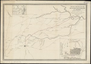
Map of the seat of war Gen Taylor's field of operations in Mexico
4331.
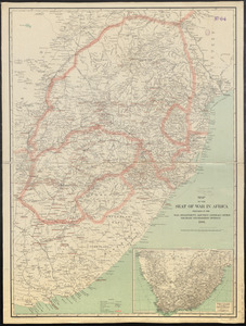
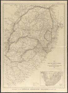
Map of the seat of war in Africa
4332.
Map of the seat of war in Africa
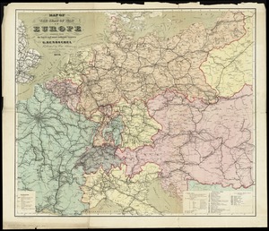
4333.
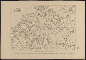
Map of the seat of war in Europe compiled from the latest and most authentic sources
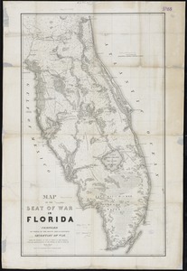
4334.
Map of the seat of war in Florida
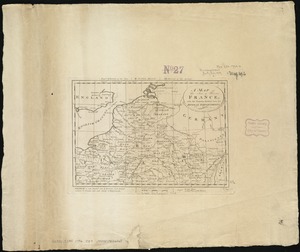
4335.
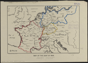
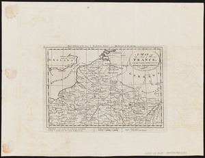
A map of the seat of war in France : with the country divided into its several departments
4336.
A map of the seat of war in France, with the country divided into its several departments
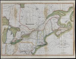
4337.
Map of the seat of war in North America
4338.
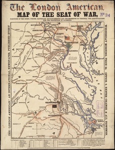
Map of the seat of war, positions of the rebel forces, batteries, entrenchments, and encampments in Virginia-the fortifications...
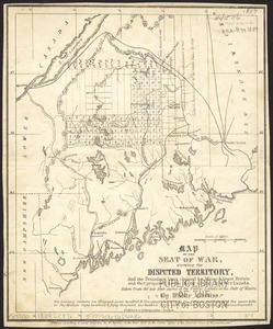
4339.
Map of the seat of war, showing disputed territory, and the boundary lines claimed by Maine & Great Britain and that proposed...
4340.
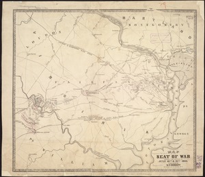
Map of the seat of war showing the battles of July 18th & 21st 1861
‹ Prev
Next ›
1
2
…
213
214
215
216
217
218
219
220
221
…
438
439