Toggle navigation
LMEC Home
Exhibitions
Georeferencing
Tools for Teachers
Collections
My Favorites
Sign Up / Log In
Search
Search the map portal
Map Collection
Map Collection
Map Sets
Search
Search
Search for
Search In
All Fields
Creator
Title
Subject
Place
Search All Digital Collections
Advanced Search
8776 Results
My Search
Start Over
More Like
commonwealth:6t053p36k
Remove constraint More Like: commonwealth:6t053p36k
Filter your Search
Place
North and Central America
6,007
United States
4,917
Massachusetts
2,092
Europe
1,396
Suffolk (county)
1,048
Boston
1,021
Canada
458
Asia
438
more
Place
»
Topic
Boston (Mass.)--Maps
587
United States--Maps
282
Real property--Massachusetts--Boston--Maps
175
Massachusetts--Maps
162
Landowners--Massachusetts--Boston--Maps
133
North America--Maps--Early works to 1800
106
New England--Maps
102
New England--Maps--Early works to 1800
97
more
Topic
»
Date
Date range begin
–
Date range end
Current results range from
1482
to
2023
View distribution
Creator
United States. Hydrographic Office
595
O.H. Bailey & Co
148
Des Barres, Joseph F. W. (Joseph Frederick Wallet), 1722-1824
123
United States. Post Office Dept
120
Ptolemy, 2nd cent
100
Walling, Henry Francis, 1825-1888
94
Jefferys, Thomas, -1771
88
Geological Survey (U.S.)
86
more
Creator
»
Format
Maps/Atlases
8,716
Manuscripts
219
Prints
56
Books
36
Objects/Artifacts
10
Drawings/Illustrations
8
Posters
5
Georeferenced
Yes
876
No
7,900
Collection
Norman B. Leventhal Map & Education Center Collection
8,720
Boston and New England Maps
2,246
Urban Maps
2,023
Maritime Charts and Atlases
1,086
American Revolutionary War-Era Maps
665
Boston Redevelopment Authority Collection
87
Mapping Boston Collection
24
Sidney R. Knafel Map Collection at Phillips Academy
20
more
Collection
»
Available to use
No known restrictions
8,555
Creative Commons license
92
Search Constraints
Sort by relevance
relevance
title
date (asc)
date (desc)
Number of results to display per page
20 per page
10
per page
20
per page
50
per page
100
per page
View results as:
grid view
map view
Search Results
7221.
Road map of the Boston district showing the metropolitan park system
7222.
Road map of the island of Rhode Island, or Aquidneck
7223.
Road map of Worcester County, Mass
7224.
Roads and communications of Sinkiang
7225.
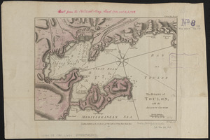
The Roads of Toulon, with the adjacent country
7226.
The roads of ye south part of Great Britain, called England and Wales : Containing all ye cities, market towns, post towns,...
7227.
Robinson's atlas of Norfolk County, Massachusetts : compiled from official records, private plans & actual surveys
7228.
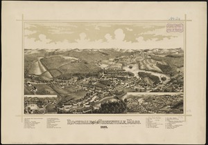
Rochdale and Greenville, Mass : 1887
7229.
Rochester, N.H : Gonic and East-Rochester, 1884
7230.
Rock Island-Frisco lines and Chicago & Eastern Illinois R.R : traverse the richest and most prosperous commonwealths in the Union
7231.
Rockland
7232.
Rock's illustrated map of London
7233.
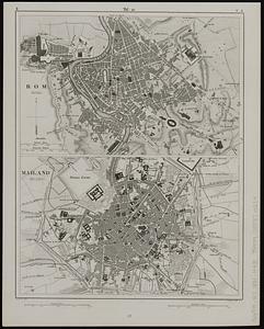
Rom (Roma) ; Mailand (Milano)
7234.
Roma, la capitale degli Stati Pontifici, fondata da Romolo e Remo verso vanno 754 prima di Cristo, e situato sul 41°53'54" di...
7235.
Roma, suburbio e dintorni
7236.
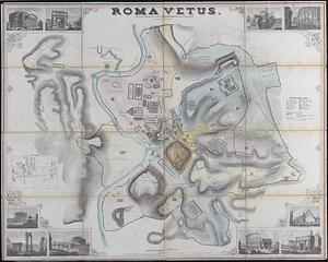
Roma vetus
7237.
Romagna olim Flaminia
7238.
Romania
7239.
Rome
7240.
Ropewalk bldg. Charlestown Navy Yard
‹ Prev
Next ›
1
2
…
358
359
360
361
362
363
364
365
366
…
438
439