Toggle navigation
LMEC Home
Exhibitions
Georeferencing
Tools for Teachers
Collections
My Favorites
Sign Up / Log In
Search
Search the map portal
Map Collection
Map Collection
Map Sets
Search
Search
Search for
Search In
All Fields
Creator
Title
Subject
Place
Search All Digital Collections
Advanced Search
8776 Results
My Search
Start Over
More Like
commonwealth:6t053p36k
Remove constraint More Like: commonwealth:6t053p36k
Filter your Search
Place
North and Central America
6,007
United States
4,917
Massachusetts
2,092
Europe
1,396
Suffolk (county)
1,048
Boston
1,021
Canada
458
Asia
438
more
Place
»
Topic
Boston (Mass.)--Maps
587
United States--Maps
282
Real property--Massachusetts--Boston--Maps
175
Massachusetts--Maps
162
Landowners--Massachusetts--Boston--Maps
133
North America--Maps--Early works to 1800
106
New England--Maps
102
New England--Maps--Early works to 1800
97
more
Topic
»
Date
Date range begin
–
Date range end
Current results range from
1482
to
2023
View distribution
Creator
United States. Hydrographic Office
595
O.H. Bailey & Co
148
Des Barres, Joseph F. W. (Joseph Frederick Wallet), 1722-1824
123
United States. Post Office Dept
120
Ptolemy, 2nd cent
100
Walling, Henry Francis, 1825-1888
94
Jefferys, Thomas, -1771
88
Geological Survey (U.S.)
86
more
Creator
»
Format
Maps/Atlases
8,716
Manuscripts
219
Prints
56
Books
36
Objects/Artifacts
10
Drawings/Illustrations
8
Posters
5
Georeferenced
Yes
876
No
7,900
Collection
Norman B. Leventhal Map & Education Center Collection
8,720
Boston and New England Maps
2,246
Urban Maps
2,023
Maritime Charts and Atlases
1,086
American Revolutionary War-Era Maps
665
Boston Redevelopment Authority Collection
87
Mapping Boston Collection
24
Sidney R. Knafel Map Collection at Phillips Academy
20
more
Collection
»
Available to use
No known restrictions
8,555
Creative Commons license
92
Search Constraints
Sort by relevance
relevance
title
date (asc)
date (desc)
Number of results to display per page
20 per page
10
per page
20
per page
50
per page
100
per page
View results as:
grid view
map view
Search Results
5241.
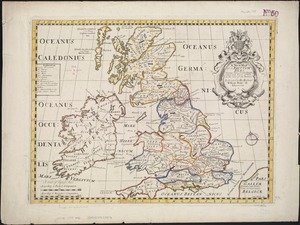
A new map of the Brittish Isles shewing their antient people, cities, and towns of note, in the time of the Romans : dedicated...
5242.
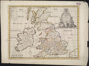
A new map of the Brittish Isles shewing their present genl. divisions, cities, and such other towns, or places, as answer to...
5243.
New map of the central portion of Boston
5244.
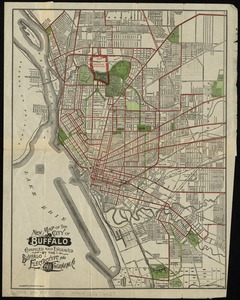
New map of the City of Buffalo
5245.
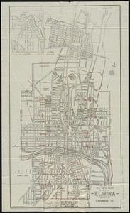
The new map of the City of Elmira
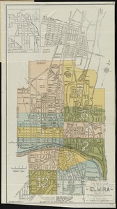
5246.
The new map of the City of Elmira
5247.
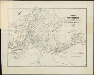
New map of the city of Norwich
5248.
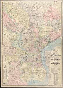
New map of the city of Philadelphia from the latest city surveys
5249.
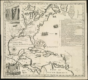
A new map of the country of Louisiana and of ye river Missisipi in North America discou'd by Mons. de la Salle in ye years...
5250.
New map of the Dominion of Canada
5251.
A new map of the East Indies and China from the best authorities
5252.
A new map of the English empire in America viz. Virginia, Maryland, Carolina, Pennsylvania, New York, New Iarsey, New England,...
5253.
A new map of the Hudson River : the post roads between N. York & Albany, the northern and western canals, &c., &c
5254.
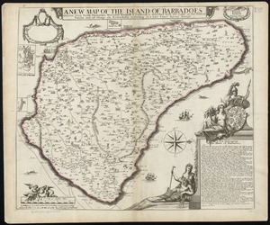
A new map of the Island of Barbadoes wherein every parish, plantation, watermill, windmill & cattlemill, is described with the...
5255.
A new map of the Land of Promise and the holy city of Jerusalem describing the most important events in the Old & New Testaments
5256.
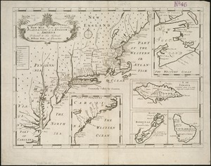
A new map of the most considerable plantations of the English in America
5257.
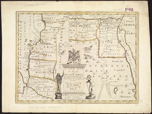
A new map of the north part of antient Africa shewing the chiefe people, cities, towns, rivers, mountains, &c. in Mauritania,...
5258.
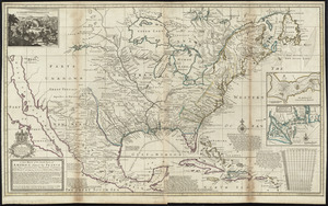
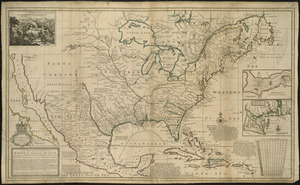
A new map of the north parts of America claimed by France under ye names of Louisiana, Mississipi, Canada, and New France with...
5259.
A new map of the north parts of America claimed by France under ye names of Louisiana, Mississipi, Canada, and New France with...
5260.
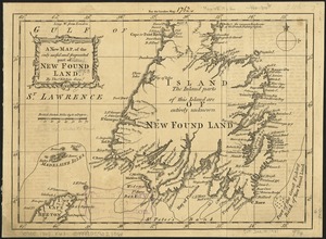
A new map of the only useful and frequented part of New Found Land
‹ Prev
Next ›
1
2
…
259
260
261
262
263
264
265
266
267
…
438
439