Toggle navigation
LMEC Home
Exhibitions
Georeferencing
Tools for Teachers
Collections
My Favorites
Sign Up / Log In
Search
Search the map portal
Map Collection
Map Collection
Map Sets
Search
Search
Search for
Search In
All Fields
Creator
Title
Subject
Place
Search All Digital Collections
Advanced Search
8904 Results
My Search
Start Over
More Like
commonwealth:6t053n87v
Remove constraint More Like: commonwealth:6t053n87v
Filter your Search
Place
North and Central America
6,060
United States
4,927
Massachusetts
2,079
Europe
1,396
Suffolk (county)
1,046
Boston
1,019
Canada
472
Asia
441
more
Place
»
Topic
Boston (Mass.)--Maps
586
United States--Maps
282
North America--Maps--Early works to 1800
240
Real property--Massachusetts--Boston--Maps
175
Massachusetts--Maps
162
Landowners--Massachusetts--Boston--Maps
133
United States--Maps--Early works to 1800
103
New England--Maps
102
more
Topic
»
Date
Date range begin
–
Date range end
Current results range from
1482
to
2023
View distribution
Creator
United States. Hydrographic Office
595
O.H. Bailey & Co
148
Des Barres, Joseph F. W. (Joseph Frederick Wallet), 1722-1824
123
United States. Post Office Dept
120
Ptolemy, 2nd cent
100
Jefferys, Thomas, -1771
94
Walling, Henry Francis, 1825-1888
94
Sayer, Robert, 1725-1794
87
more
Creator
»
Format
Maps/Atlases
8,844
Manuscripts
217
Prints
56
Books
36
Objects/Artifacts
10
Drawings/Illustrations
8
Posters
5
Georeferenced
Yes
874
No
8,030
Collection
Norman B. Leventhal Map & Education Center Collection
8,706
Boston and New England Maps
2,234
Urban Maps
2,023
Maritime Charts and Atlases
1,083
American Revolutionary War-Era Maps
808
MacLean Collection Map Library
102
Boston Redevelopment Authority Collection
87
New York Public Library Collection
46
more
Collection
»
Available to use
No known restrictions
8,558
Creative Commons license
136
Search Constraints
Sort by relevance
relevance
title
date (asc)
date (desc)
Number of results to display per page
20 per page
10
per page
20
per page
50
per page
100
per page
View results as:
grid view
map view
Search Results
161.
Carte generale des colonies angloises dans l'Amerique Septentrionale pour l'intelligence de la guerre presente : d'apres des...
162.
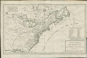
Carte générale des Etats Unis de l'Amérique Septentrionale : renfermant aussi quelques provinces Angloises adjacentes
163.
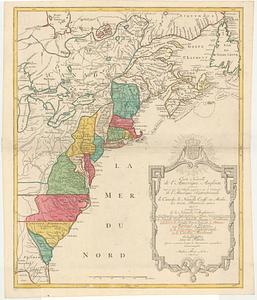
Carte génerale des Etats-Unis de l'Amérique Septentrionale : divisée en ses 17 provinces
164.
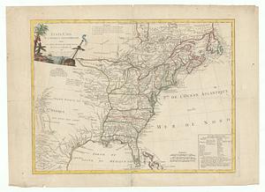
Carte générale des Etats-Unis de l'Amerique Septentrionale, renfermant aussi quelques provinces angloises adjacentes, pour les...
165.
Carte generale des treize Etats Unis, de l'Amerique septentrionale = Kaart van de dertien Verénigde Staaten, in Noord Amerika
166.
Carte generale des treize Etats-Unis & independants de l'Amerique Septentrionale pour servir au spectateur Americain
167.
Carte nouvelle de l'Amerique angloise contenant tout ce que les anglois possedent sur le continent de l'Amerique Septentrionale...
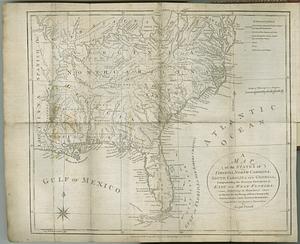
168.
Carte réduite du nord des Etat-Unis avec l'intérieur du pays : pour servir à l'intelligence de cette histoire ; copieé par...
169.
Etats-Unis de l'Amérique Septentrionale avec les Isles Royale, de Terre Neuve, de S.t Jean, l'Acadie, &c.
170.
A general map of the middle British colonies, in America : viz Virginia, Màriland, Dèlaware, Pensilvania, New-Jersey, New-York,...
171.
A general map of the middle British colonies, in America : viz Virginia, Màriland, Dèlaware, Pensilvania, New-Jersey,...
172.
Karte von Luisiana, dem laufe des Mississipi und den benachbaerten laendern
173.
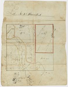
Lot no. 21 Hannibal
174.
Map for the interior travels through America : delineating the march of the army
175.
A map of Canada and the north part of Louisiana with the adjacent countrys
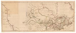
176.
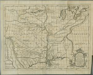
A map of Louisiana with the course of the Missisipi, and the adjacent rivers, the nations of the natives, the French...
177.
A map of the American Indian nations, adjoining to the Missisippi, west & east Florida, Georgia, S. & N. Carolina, Virginia, &c.
178.
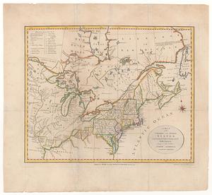
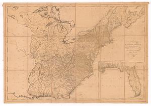
A map of the northern and middle states : comprehending the western territory and the British dominions in North America, from...
179.
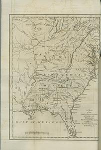
A map of the states of Virginia, North Carolina, South Carolina and Georgia : comprehending the Spanish provinces of east and...
180.
A map of the United States: compiled chiefly from the state maps, and other authentic information
‹ Prev
Next ›
1
2
…
5
6
7
8
9
10
11
12
13
…
445
446