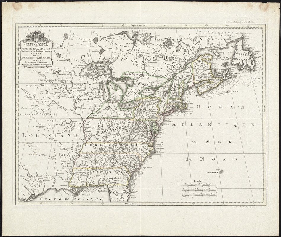
Carte generale des treize Etats Unis, de l'Amerique septentrionale = Kaart van de dertien Verénigde Staaten, in Noord Amerika
This map is also available in American Revolutionary Geographies Online (ARGO), a collections portal especially built for material relating to the American Revolutionary War Era. Visit ARGO to learn more about this item and explore the historical geography of North America in the late eighteenth century.
Item Information
- Title:
- Carte generale des treize Etats Unis, de l'Amerique septentrionale = Kaart van de dertien Verénigde Staaten, in Noord Amerika
- Title (alt.):
-
Kaart van de dertien Verénigde Staaten, in Noord Amerika
- Date:
-
[1782?]
- Format:
-
Maps/Atlases
- Location:
- George Washington's Mount Vernon
- Collection (local):
-
Richard H. Brown Revolutionary War Map Collection at Mount Vernon
- Subjects:
-
United States--Maps--Early works to 1800
- Places:
-
- Extent:
- 1 map : hand col. ; 40 x 55 cm.
- Terms of Use:
-
No known copyright restrictions.
This work is licensed for use under a Creative Commons Attribution Non-Commercial Share Alike License (CC BY-NC-SA).

- Publisher:
-
Amsterdam :
Chez C. Mortier & J. Covens, et Fils
- Scale:
-
Scale [ca. 1:7,000,000]
- Language:
-
French
Dutch
- Catalog Record:
-
MVLA record
- Notes:
-
Relief shown pictorially.
Appears in Cóvens et Mortier's Nieuwe atlas, inhoudende de vier gedeeltens der waereld. [1740-1817].
In French and Dutch.
- Identifier:
-
06_01_009608
- Barcode:
-
30000003454242


