Toggle navigation
LMEC Home
Exhibitions
Georeferencing
Tools for Teachers
Collections
My Favorites
Sign Up / Log In
Search
Search the map portal
Map Collection
Map Collection
Map Sets
Search
Search
Search for
Search In
All Fields
Creator
Title
Subject
Place
Search All Digital Collections
Advanced Search
8809 Results
My Search
Start Over
More Like
commonwealth:6h446z087
Remove constraint More Like: commonwealth:6h446z087
Filter your Search
Place
North and Central America
6,040
United States
4,958
Massachusetts
2,091
Europe
1,396
Suffolk (county)
1,160
Boston
1,133
Canada
449
Asia
438
more
Place
»
Topic
Boston (Mass.)--Maps
607
United States--Maps
282
Real property--Massachusetts--Boston--Maps
254
Landowners--Massachusetts--Boston--Maps
170
Massachusetts--Maps
162
City planning--Massachusetts--Boston--Maps
139
North America--Maps--Early works to 1800
103
New England--Maps
102
more
Topic
»
Date
Date range begin
–
Date range end
Current results range from
1482
to
2023
View distribution
Creator
United States. Hydrographic Office
595
O.H. Bailey & Co
148
Boston Redevelopment Authority
141
Des Barres, Joseph F. W. (Joseph Frederick Wallet), 1722-1824
123
United States. Post Office Dept
120
Ptolemy, 2nd cent
100
Walling, Henry Francis, 1825-1888
94
Geological Survey (U.S.)
86
more
Creator
»
Format
Maps/Atlases
8,749
Manuscripts
215
Prints
56
Books
36
Objects/Artifacts
10
Drawings/Illustrations
8
Posters
5
Georeferenced
Yes
870
No
7,939
Collection
Norman B. Leventhal Map & Education Center Collection
8,698
Boston and New England Maps
2,312
Urban Maps
2,101
Maritime Charts and Atlases
1,083
American Revolutionary War-Era Maps
616
Boston Redevelopment Authority Collection
163
Massachusetts Real Estate Atlases
35
Applied Geographics, Inc. Records
2
more
Collection
»
Available to use
No known restrictions
8,631
Creative Commons license
48
Search Constraints
Sort by relevance
relevance
title
date (asc)
date (desc)
Number of results to display per page
20 per page
10
per page
20
per page
50
per page
100
per page
View results as:
grid view
map view
Search Results
7481.
Sketch map of the British coast showing the relative positions of Liverpool, Beaumaris, Moelfra Bay & Point Lynas (taken from...
7482.
Sketch of Boston Harbor and Bay
7483.
Sketch of Bunker Hill Battle
7484.
Sketch of Charleston Harbor
7485.
Sketch of Charleston Harbor
7486.
Sketch of Charleston Harbor
7487.
Sketch of Guadalupe Island : west coast of Lower California
7488.
A sketch of part of the Island of New York shewing the operations of His Majesty's troops on the 16 Novr. 1776 which terminated...
7489.
Sketch of Pensacola Navy Yard and Fort Pickens from U.S. coast surveys
7490.
Sketch of sea coast of South Carolina and Georgia from Bull's Bay to Ossabaw Sound
7491.
Sketch of sea coast of South Carolina and Georgia from Bull's Bay to Ossabaw Sound
7492.
Sketch of the 11th district of western Tennessee
7493.
Sketch of the Battle of Bunker Hill
7494.
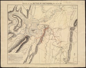
Sketch of the battles of Chattanooga, Nov. 23-26, 1863
7495.
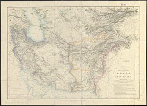
Sketch of the countries between Hindustan and the Caspian Sea
7496.
Sketch of the country illustrating the late engagement in Long Island
7497.
A sketch of the environs of Charlestown in South Carolina
7498.
Sketch of the narrows in Boston Harbor
7499.
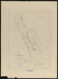
Sketch of the navigation through East Neebish Rapids, River St. Marys
7500.
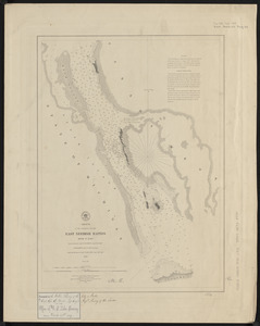
Sketch of the navigation through East Neebish Rapids River St. Marys
‹ Prev
Next ›
1
2
…
371
372
373
374
375
376
377
378
379
…
440
441