Toggle navigation
LMEC Home
Exhibitions
Georeferencing
Tools for Teachers
Collections
My Favorites
Sign Up / Log In
Search
Search the map portal
Map Collection
Map Collection
Map Sets
Search
Search
Search for
Search In
All Fields
Creator
Title
Subject
Place
Search All Digital Collections
Advanced Search
8809 Results
My Search
Start Over
More Like
commonwealth:6h446z087
Remove constraint More Like: commonwealth:6h446z087
Filter your Search
Place
North and Central America
6,040
United States
4,958
Massachusetts
2,091
Europe
1,396
Suffolk (county)
1,160
Boston
1,133
Canada
449
Asia
438
more
Place
»
Topic
Boston (Mass.)--Maps
607
United States--Maps
282
Real property--Massachusetts--Boston--Maps
254
Landowners--Massachusetts--Boston--Maps
170
Massachusetts--Maps
162
City planning--Massachusetts--Boston--Maps
139
North America--Maps--Early works to 1800
103
New England--Maps
102
more
Topic
»
Date
Date range begin
–
Date range end
Current results range from
1482
to
2023
View distribution
Creator
United States. Hydrographic Office
595
O.H. Bailey & Co
148
Boston Redevelopment Authority
141
Des Barres, Joseph F. W. (Joseph Frederick Wallet), 1722-1824
123
United States. Post Office Dept
120
Ptolemy, 2nd cent
100
Walling, Henry Francis, 1825-1888
94
Geological Survey (U.S.)
86
more
Creator
»
Format
Maps/Atlases
8,749
Manuscripts
215
Prints
56
Books
36
Objects/Artifacts
10
Drawings/Illustrations
8
Posters
5
Georeferenced
Yes
870
No
7,939
Collection
Norman B. Leventhal Map & Education Center Collection
8,698
Boston and New England Maps
2,312
Urban Maps
2,101
Maritime Charts and Atlases
1,083
American Revolutionary War-Era Maps
616
Boston Redevelopment Authority Collection
163
Massachusetts Real Estate Atlases
35
Applied Geographics, Inc. Records
2
more
Collection
»
Available to use
No known restrictions
8,631
Creative Commons license
48
Search Constraints
Sort by relevance
relevance
title
date (asc)
date (desc)
Number of results to display per page
20 per page
10
per page
20
per page
50
per page
100
per page
View results as:
grid view
map view
Search Results
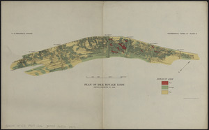
6381.
Plan of Isle Royale Lode : developments to 1925
6382.
Plan of La Vera Cruz, from Spanish draughts ; Plan of Port Royal Laguna, commonly called Logwood Creeks
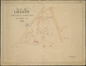
6383.
Plan of Lafayette College grounds Easton, Pa
6384.
Plan of Lafayette Mall (Boston Common)
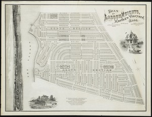
6385.
Plan of Lagoon Heights, Martha's Vineyard, Mass
6386.
Plan of land at Buzzards Bay, Mass., belonging to the N.E. Telephone & Telegraph Co.
6387.
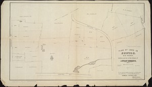
Plan of land belonging to William Kenrick : near the depot of Newton Corner
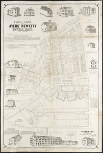
6388.
Plan of land in Ayers' New-City, Lowell, Mass : belonging to Daniel Ayer
6389.
Plan of land in Cambridgeport held by the receivers of the Phoenix Bank : to be sold by public auction Friday June 20, 1851 at...
6390.
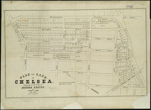
Plan of land in Chelsea belonging to the heirs of Joshua Carter
6391.
Plan of land in Newton, 6th ward : being a portion of the estate of J. Willey [sic]Edmands, decd. ... to be sold by...
6392.
Plan of land in Sharon belonging to the Massapoag Lake Company
6393.
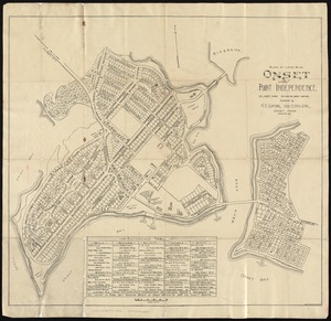
Plan of land of Onset and Point Independence
6394.
Plan of land owned by the Aspinwall Land Company on Aspinwall Hill in Brookline, Mass
6395.
Plan of lands belonging to the Boston Water Power Co
6396.
Plan of lands in West-Roxbury, belonging to the estate of Chas. M. Taft : to be sold by public auction in Wednesday June 9th at...
6397.
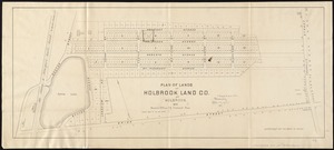
Plan of lands of Holbrook Land Co. at Holbrook 1872
6398.
Plan of lands of Wollaston Land Associates at Wollaston Heights, Quincy
6399.
Plan of lands on the Back Bay, belonging to the Boston Water Power Co., the Commonwealth, and other parties, showing the system...
6400.
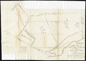
A plan of lands on Wilcocks, Shaws or Baxters Hill in Quincy owned by John M. Forbes 1846
‹ Prev
Next ›
1
2
…
316
317
318
319
320
321
322
323
324
…
440
441