Toggle navigation
LMEC Home
Exhibitions
Georeferencing
Tools for Teachers
Collections
My Favorites
Sign Up / Log In
Search
Search the map portal
Map Collection
Map Collection
Map Sets
Search
Search
Search for
Search In
All Fields
Creator
Title
Subject
Place
Search All Digital Collections
Advanced Search
8658 Results
My Search
Start Over
More Like
commonwealth:6h446t405
Remove constraint More Like: commonwealth:6h446t405
Filter your Search
Place
North and Central America
5,953
United States
4,877
Massachusetts
2,061
Europe
1,359
Suffolk (county)
1,142
Boston
1,115
Canada
448
Asia
422
more
Place
»
Topic
Boston (Mass.)--Maps
597
United States--Maps
273
Real property--Massachusetts--Boston--Maps
252
Landowners--Massachusetts--Boston--Maps
169
Massachusetts--Maps
160
City planning--Massachusetts--Boston--Maps
133
North America--Maps--Early works to 1800
103
New England--Maps
99
more
Topic
»
Date
Date range begin
–
Date range end
Current results range from
1482
to
2023
View distribution
Creator
United States. Hydrographic Office
594
O.H. Bailey & Co
148
Boston Redevelopment Authority
135
Des Barres, Joseph F. W. (Joseph Frederick Wallet), 1722-1824
123
United States. Post Office Dept
120
Ptolemy, 2nd cent
100
Walling, Henry Francis, 1825-1888
94
Geological Survey (U.S.)
86
more
Creator
»
Format
Maps/Atlases
8,599
Manuscripts
215
Prints
56
Books
36
Objects/Artifacts
10
Drawings/Illustrations
8
Posters
4
Georeferenced
Yes
869
No
7,789
Collection
Norman B. Leventhal Map & Education Center Collection
8,550
Boston and New England Maps
2,277
Urban Maps
2,009
Maritime Charts and Atlases
1,081
American Revolutionary War-Era Maps
616
Boston Redevelopment Authority Collection
160
Massachusetts Real Estate Atlases
35
Available to use
No known restrictions
8,482
Creative Commons license
46
Search Constraints
Sort by relevance
relevance
title
date (asc)
date (desc)
Number of results to display per page
20 per page
10
per page
20
per page
50
per page
100
per page
View results as:
grid view
map view
Search Results
3281.
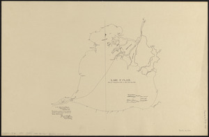
Lake St. Clair
3282.
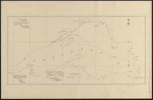
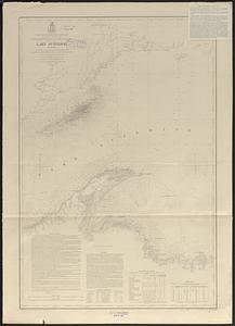
Lake Superior
3283.
Lake Superior : chart no. 1
3284.
Lake Superior : chart no. 3
3285.
Lake Superior : chart no. 2
3286.
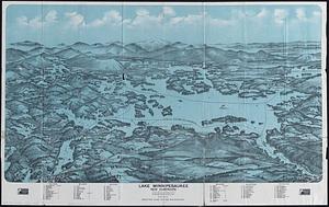
Lake Winnipesaukee, New Hampshire
3287.
Lake Winnipesaukee, New Hampshire
3288.
Lancaster, Ohio : 1885
3289.
Lancastria palatinatus Anglis Lancaster & Lancas Shire
3290.
[Land division survey of Duxbury and Pembroke, MA]
3291.
Land measures illustrated ; percentage illustrated ; phonic analysis
3292.
The land of make believe
3293.
Land utilization in Korea
3294.
Landing facilities and proposed airway system in the United States, 1923
3295.
Landing facilities and proposed airway system in the United States, 1924
3296.
Lands End, Rockport, Mass
3297.
Landscaping plan of City Hall Plaza, Boston
3298.
Langley's new map of Essex
3299.
Languedoc
3300.
Lansdale : Pennsylvania
‹ Prev
Next ›
1
2
…
161
162
163
164
165
166
167
168
169
…
432
433


![[Land division survey of Duxbury and Pembroke, MA]](https://bpldcassets.blob.core.windows.net/derivatives/images/commonwealth:wd376285r/image_thumbnail_300.jpg)


