Toggle navigation
LMEC Home
Exhibitions
Georeferencing
Tools for Teachers
Collections
My Favorites
Sign Up / Log In
Search
Search the map portal
Map Collection
Map Collection
Map Sets
Search
Search
Search for
Search In
All Fields
Creator
Title
Subject
Place
Search All Digital Collections
Advanced Search
8766 Results
My Search
Start Over
More Like
commonwealth:69703b55q
Remove constraint More Like: commonwealth:69703b55q
Filter your Search
Place
North and Central America
5,997
United States
4,907
Massachusetts
2,083
Europe
1,396
Suffolk (county)
1,046
Boston
1,019
Canada
459
Asia
438
more
Place
»
Topic
Boston (Mass.)--Maps
586
United States--Maps
282
Real property--Massachusetts--Boston--Maps
175
Massachusetts--Maps
162
Landowners--Massachusetts--Boston--Maps
133
North America--Maps--Early works to 1800
106
New England--Maps
102
New England--Maps--Early works to 1800
97
more
Topic
»
Date
Date range begin
–
Date range end
Current results range from
1482
to
2023
View distribution
Creator
United States. Hydrographic Office
595
O.H. Bailey & Co
148
Des Barres, Joseph F. W. (Joseph Frederick Wallet), 1722-1824
123
United States. Post Office Dept
120
Ptolemy, 2nd cent
100
Walling, Henry Francis, 1825-1888
94
Jefferys, Thomas, -1771
90
Geological Survey (U.S.)
86
more
Creator
»
Format
Maps/Atlases
8,706
Manuscripts
217
Prints
56
Books
36
Objects/Artifacts
10
Drawings/Illustrations
8
Posters
5
Georeferenced
Yes
875
No
7,891
Collection
Norman B. Leventhal Map & Education Center Collection
8,720
Boston and New England Maps
2,243
Urban Maps
2,023
Maritime Charts and Atlases
1,087
American Revolutionary War-Era Maps
657
Boston Redevelopment Authority Collection
87
Mapping Boston Collection
24
Sidney R. Knafel Map Collection at Phillips Academy
15
more
Collection
»
Available to use
No known restrictions
8,555
Creative Commons license
91
Search Constraints
Sort by relevance
relevance
title
date (asc)
date (desc)
Number of results to display per page
20 per page
10
per page
20
per page
50
per page
100
per page
View results as:
grid view
map view
Search Results
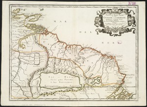
5841.
Partie de Terre Ferme ou sont Guiane et Caribane
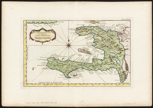
5842.
La partie Francoise de l'isle de Saint Domingue
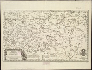
5843.
Partie méridionale de l'évesché de Poictiers : partie méridionale du Haut Poitou : l'eslection de St. Maixent et partie de...
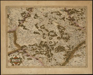
5844.
La partie meridionale de Lorraine
5845.
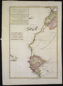
Partie occidentale de L'Afrique, contenant les pays et etats voisins de la côte, entre le Cap St. Vincent et le Cap Tagrin :...
5846.
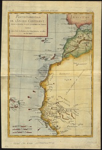
Partie occidentale de l'ancien continent depuis Lisbonne jusquà la Riviere de Sierra Leona : avec l'Isle Madere, les Isles...
5847.
Partie orientale de la Nouvelle France ou du Canada
5848.
Partie orientale de la Nouvelle France ou du Canada
5849.
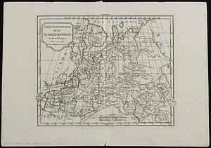
Partie septentrionale de la Russie Européenne
5850.
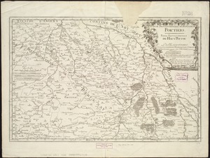
Partie septentrionale de l'evesché de Poictiers : partie septentrionale du Haut-Poitou : les eslections de Chastelleraud, de...
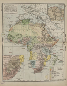
5851.
The partition of Africa
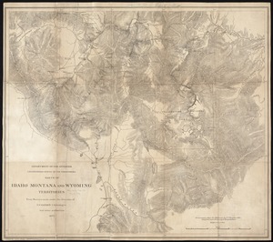
5852.
Parts of Idaho, Montana and Wyoming territories
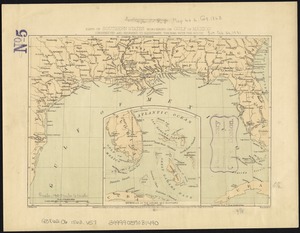
5853.
Parts of southern states bordering on Gulf of Mexico : constructed and engraved to illustrate "The War with the South"
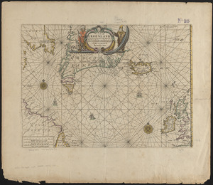
5854.
Pas caerte van Groenland, Ysland, Straet Davids en Ian Mayen eyland hoemen de selvige van Hitland en de noort kusten van...
5855.
Pas kaart van de zuyd kust van Cuba en van geheel Yamaica en and're bygeleegen plaatsen
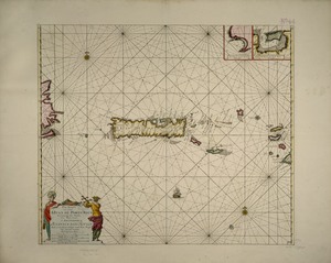
5856.
Pas kaart van t eyland S. Iuan de Porto Rico, met d eylanden daar beoosten
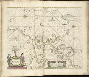
5857.
Pascaart van Europa, als mede een gedeelt vande cust van Africa
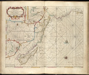
5858.
Pascaart vertoonende de zeecusten van Chili, Peru, Hispania Nova, Nova Granada en California
5859.
Pascaarte vande Noorder Zee custen van America, vande West-hoeck van Ysland doorde Straet Davis en Hudson, tot aen Terra Neuf
5860.
Pascaarte vande vaste cust en eylanden van Westindien, als mede de Virginis en Nieu-Nederland, van C. Droge tot C. Cod
‹ Prev
Next ›
1
2
…
289
290
291
292
293
294
295
296
297
…
438
439