Toggle navigation
LMEC Home
Exhibitions
Georeferencing
Tools for Teachers
Collections
My Favorites
Sign Up / Log In
Search
Search the map portal
Map Collection
Map Collection
Map Sets
Search
Search
Search for
Search In
All Fields
Creator
Title
Subject
Place
Search All Digital Collections
Advanced Search
8695 Results
My Search
Start Over
More Like
commonwealth:4m90fp84q
Remove constraint More Like: commonwealth:4m90fp84q
Filter your Search
Place
North and Central America
5,926
United States
4,844
Massachusetts
2,079
Europe
1,396
Suffolk (county)
1,046
Boston
1,019
Canada
449
Asia
439
more
Place
»
Topic
Boston (Mass.)--Maps
586
United States--Maps
282
Real property--Massachusetts--Boston--Maps
175
Massachusetts--Maps
162
Landowners--Massachusetts--Boston--Maps
133
North America--Maps--Early works to 1800
103
New England--Maps
102
Europe--Maps
79
more
Topic
»
Date
Date range begin
–
Date range end
Current results range from
1482
to
2023
View distribution
Creator
United States. Hydrographic Office
595
O.H. Bailey & Co
148
Des Barres, Joseph F. W. (Joseph Frederick Wallet), 1722-1824
123
United States. Post Office Dept
120
Ptolemy, 2nd cent
100
Walling, Henry Francis, 1825-1888
94
Geological Survey (U.S.)
86
Jefferys, Thomas, -1771
85
more
Creator
»
Format
Maps/Atlases
8,635
Manuscripts
215
Prints
56
Books
36
Objects/Artifacts
10
Drawings/Illustrations
8
Posters
5
Georeferenced
Yes
869
No
7,826
Collection
Norman B. Leventhal Map & Education Center Collection
8,694
Boston and New England Maps
2,233
Urban Maps
2,023
Maritime Charts and Atlases
1,083
American Revolutionary War-Era Maps
616
Boston Redevelopment Authority Collection
87
Sidney R. Knafel Map Collection at Phillips Academy
1
Available to use
No known restrictions
8,552
Creative Commons license
47
Search Constraints
Sort by relevance
relevance
title
date (asc)
date (desc)
Number of results to display per page
20 per page
10
per page
20
per page
50
per page
100
per page
View results as:
grid view
map view
Search Results
61.
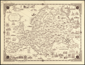
Europe : a pictorial map
62.
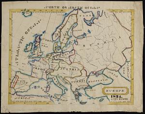
Europe
63.
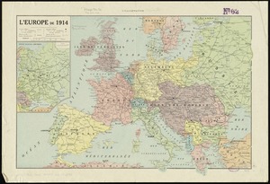
L'Europe de 1914
64.
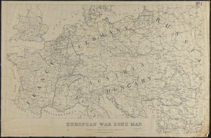
European war zone map
65.
Evropa
66.
Genealogical, chronological and geographical chart embracing Biblical and profane history of ancient times from Adam to Christ
67.
Hammond's enlarged map of Europe of to-day showing boundaries of the new states as determined by the peace conference
68.
Hark! Hark! The dogs do bark! : with note by Walter Emanuel = Horch! Horch! Die hunde bellen! : mit einer begleitschrift von...
69.
Karte vom kriegschauplatz
70.
Karte von Europa und dem Mittelländischen Meere
71.
The lesson of the war map
72.
The Literary Digest liberty map of the Western Front of the Great World War showing the battle line of liberty as it stood...
73.
Map of Europe : drawn from all the best surveys and rectified by astronomical observations
74.
Map of Europe : compiled from the latest authorities
75.
The map of Europe
76.
A map of Europe, and the countries bordering on the Mediterranean & Black Seas, from the latest authorities
77.
Map of Europe showing countries as established by the Peace Conference at Paris
78.
Map of the races of Europe and adjoining portions of Asia and Africa
79.
Maps of Europe
80.
Navigation à vapeur dans le bassin de la Méditerranée et chemins de fer de l'Europe Centrale
‹ Prev
Next ›
1
2
3
4
5
6
7
8
…
434
435