Toggle navigation
LMEC Home
Exhibitions
Georeferencing
Tools for Teachers
Collections
My Favorites
Sign Up / Log In
Search
Search the map portal
Map Collection
Map Collection
Map Sets
Search
Search
Search for
Search In
All Fields
Creator
Title
Subject
Place
Search All Digital Collections
Advanced Search
9133 Results
My Search
Start Over
More Like
commonwealth:4m90fp184
Remove constraint More Like: commonwealth:4m90fp184
Filter your Search
Place
North and Central America
6,364
United States
5,280
Massachusetts
2,195
Suffolk (county)
1,471
Boston
1,444
Europe
1,396
Canada
449
Asia
438
more
Place
»
Topic
Boston (Mass.)--Maps
752
City planning--Massachusetts--Boston--Maps
418
United States--Maps
282
Urban renewal--Massachusetts--Boston--Maps
252
Real property--Massachusetts--Boston--Maps
225
Massachusetts--Maps
166
Landowners--Massachusetts--Boston--Maps
144
New England--Maps
104
more
Topic
»
Date
Date range begin
–
Date range end
Current results range from
1482
to
2023
View distribution
Creator
United States. Hydrographic Office
595
Boston Redevelopment Authority
399
O.H. Bailey & Co
148
Des Barres, Joseph F. W. (Joseph Frederick Wallet), 1722-1824
124
United States. Post Office Dept
120
Ptolemy, 2nd cent
100
Walling, Henry Francis, 1825-1888
94
Geological Survey (U.S.)
87
more
Creator
»
Format
Maps/Atlases
9,073
Manuscripts
214
Prints
56
Books
36
Objects/Artifacts
10
Drawings/Illustrations
8
Posters
5
Georeferenced
Yes
886
No
8,247
Collection
Norman B. Leventhal Map & Education Center Collection
8,725
Boston and New England Maps
2,623
Urban Maps
2,405
Maritime Charts and Atlases
1,083
American Revolutionary War-Era Maps
638
Boston Redevelopment Authority Collection
455
Mapping Boston Collection
20
Massachusetts Real Estate Atlases
18
more
Collection
»
Available to use
No known restrictions
8,930
Creative Commons license
70
Search Constraints
Sort by relevance
relevance
title
date (asc)
date (desc)
Number of results to display per page
20 per page
10
per page
20
per page
50
per page
100
per page
View results as:
grid view
map view
Search Results
81.
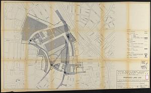
Government Center project no. Mass. r-35 : proposed land use
82.
Government Center project no. Mass. r-35 : proposed land use map
83.
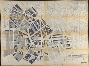
Government Center redevelopment project : land use map
84.
Illustrative site plan : a proposal for community review South End/Lower Roxbury development policy
85.
Illustrative site plan : South End urban renewal area, Massachusetts r-56
86.
Illustrative site plan : a proposal for community review South End/Lower Roxbury development policy
87.
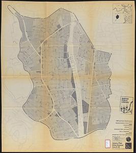
Jamaica Plain urban renewal area r-49 : proposed land use
88.
Jamaica Plain urban renewal area r-49 : existing land use
89.
Land use New York streets - South Cove 1953
90.
Mattapan project : land use and disposition plan
91.
Mattapan project : existing land use
92.
Metropolitan District Commission combined sewer overflow project Dorchester Bay area
93.
North Harvard project area : land use of project area
94.
Parker Hill-Fenway urban renewal area r-48 : proposed land use
95.
Parker Hill-Fenway urban renewal area r-48 : existing land use
96.
Plan for Boston
97.
Proposed land use plan and circulation system
98.
Roxbury - N. Dorchester G.N.R.P. : preliminary land use plan
99.
Roxbury-N. Dorchester G.N.R.P. r-50 : proposed land use
100.
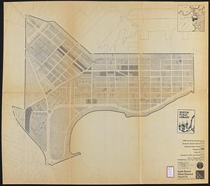
South Boston urban renewal area r-51 : proposed land use
‹ Prev
Next ›
1
2
3
4
5
6
7
8
9
…
456
457