Toggle navigation
LMEC Home
Exhibitions
Georeferencing
Tools for Teachers
Collections
My Favorites
Sign Up / Log In
Search
Search the map portal
Map Collection
Map Collection
Map Sets
Search
Search
Search for
Search In
All Fields
Creator
Title
Subject
Place
Search All Digital Collections
Advanced Search
8646 Results
My Search
Start Over
More Like
commonwealth:4m90ff97b
Remove constraint More Like: commonwealth:4m90ff97b
Filter your Search
Place
North and Central America
5,885
United States
4,805
Massachusetts
2,068
Europe
1,392
Suffolk (county)
1,041
Boston
1,014
Canada
448
Asia
437
more
Place
»
Topic
Boston (Mass.)--Maps
582
United States--Maps
279
Real property--Massachusetts--Boston--Maps
175
Massachusetts--Maps
161
Landowners--Massachusetts--Boston--Maps
133
North America--Maps--Early works to 1800
103
New England--Maps
101
Europe--Maps
79
more
Topic
»
Date
Date range begin
–
Date range end
Current results range from
1482
to
2023
View distribution
Creator
United States. Hydrographic Office
595
O.H. Bailey & Co
148
Des Barres, Joseph F. W. (Joseph Frederick Wallet), 1722-1824
123
United States. Post Office Dept
120
Ptolemy, 2nd cent
100
Walling, Henry Francis, 1825-1888
94
Geological Survey (U.S.)
86
Jefferys, Thomas, -1771
85
more
Creator
»
Format
Maps/Atlases
8,586
Manuscripts
215
Prints
56
Books
36
Objects/Artifacts
10
Drawings/Illustrations
8
Posters
5
Georeferenced
Yes
869
No
7,777
Collection
Norman B. Leventhal Map & Education Center Collection
8,646
Boston and New England Maps
2,221
Urban Maps
1,992
Maritime Charts and Atlases
1,083
American Revolutionary War-Era Maps
615
Boston Redevelopment Authority Collection
87
Available to use
No known restrictions
8,504
Creative Commons license
47
Search Constraints
Sort by relevance
relevance
title
date (asc)
date (desc)
Number of results to display per page
20 per page
10
per page
20
per page
50
per page
100
per page
View results as:
grid view
map view
Search Results
1.
Anderson's map of the Upper Yukon and adjacent regions
2.
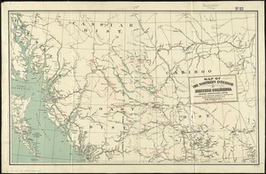
British Columbia
3.
British Columbia : Kamloops sheet, topography, economic minerals, & glacial striae
4.
British Columbia : Kamloops sheet, geologically coloured
5.
British Columbia railway belt : Sicamous sheet, west of sixth meridan : map showing the disposition of lands
6.
Coal fields of Alberta and British Columbia
7.
Coast and islands between Queen Charlotte Sound and Burke Channel, British Columbia
8.
Geological and topographical map of Crows Nest coal-fields, East Kootenay District, B.C. ; Geological sketch map of part of the...
9.
Map from the Pacific Ocean across the Rocky Mountain zone : to accompany report on the exploratory survey
10.
Map illustrating the distribution of some of the more important trees in British Columbia
11.
Map of a portion of the southern Interior of British Columbia : embodying the explorations made in 1877 by G.M. Dawson, and in...
12.
Map of British Columbia and part of western Canada, showing the lines and lands of the Canadian Pacific Railway
13.
Map of British Columbia to the 56th parallel, north latitude
14.
Map of portion of Osoyoos District, British Columbia
15.
Map of the Canadian Rockies triangle tour of British Columbia, Alaska and the Yukon
16.
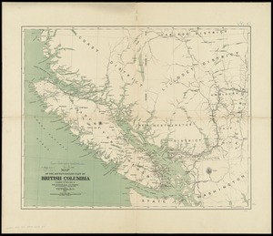
Map of the eastern part of British Columbia
17.
Map of the northern coast part of British Columbia
18.
Map of the northern interior of British Columbia shewing undeveloped areas
19.
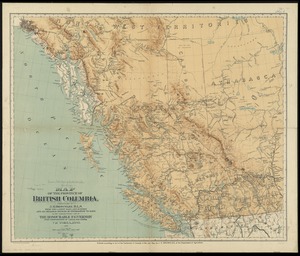
Map of the province of British Columbia
20.
Map of the south-western part of British Columbia
‹ Prev
Next ›
1
2
3
4
5
…
432
433