Toggle navigation
LMEC Home
Exhibitions
Georeferencing
Tools for Teachers
Collections
My Favorites
Sign Up / Log In
Search
Search the map portal
Map Collection
Map Collection
Map Sets
Search
Search
Search for
Search In
All Fields
Creator
Title
Subject
Place
Search All Digital Collections
Advanced Search
8694 Results
My Search
Start Over
More Like
commonwealth:4m90ff563
Remove constraint More Like: commonwealth:4m90ff563
Filter your Search
Place
North and Central America
5,925
United States
4,844
Massachusetts
2,079
Europe
1,396
Suffolk (county)
1,046
Boston
1,019
Canada
448
Asia
438
more
Place
»
Topic
Boston (Mass.)--Maps
586
United States--Maps
282
Real property--Massachusetts--Boston--Maps
175
Massachusetts--Maps
162
Landowners--Massachusetts--Boston--Maps
133
North America--Maps--Early works to 1800
103
New England--Maps
102
Europe--Maps
79
more
Topic
»
Date
Date range begin
–
Date range end
Current results range from
1482
to
2023
View distribution
Creator
United States. Hydrographic Office
595
O.H. Bailey & Co
148
Des Barres, Joseph F. W. (Joseph Frederick Wallet), 1722-1824
123
United States. Post Office Dept
120
Ptolemy, 2nd cent
100
Walling, Henry Francis, 1825-1888
94
Geological Survey (U.S.)
86
Jefferys, Thomas, -1771
85
more
Creator
»
Format
Maps/Atlases
8,634
Manuscripts
215
Prints
56
Books
36
Objects/Artifacts
10
Drawings/Illustrations
8
Posters
5
Georeferenced
Yes
869
No
7,825
Collection
Norman B. Leventhal Map & Education Center Collection
8,694
Boston and New England Maps
2,233
Urban Maps
2,023
Maritime Charts and Atlases
1,083
American Revolutionary War-Era Maps
616
Boston Redevelopment Authority Collection
87
Available to use
No known restrictions
8,552
Creative Commons license
47
Search Constraints
Sort by relevance
relevance
title
date (asc)
date (desc)
Number of results to display per page
20 per page
10
per page
20
per page
50
per page
100
per page
View results as:
grid view
map view
Search Results
1.
Map of British Columbia and part of western Canada, showing the lines and lands of the Canadian Pacific Railway
2.
Map of the Canadian Rockies triangle tour of British Columbia, Alaska and the Yukon
3.
Canadian Rockies showing main line of Canadian Pacific Ry. with branch lines & steamship connections
4.
Map showing mounted police stations in the North West Territories
5.
British Columbia railway belt : Sicamous sheet, west of sixth meridan : map showing the disposition of lands
6.
Map of the south-western part of British Columbia
7.
Routes of Grand Trunk Pacific Steamships : Pacific coast service
8.
Coal fields of Alberta and British Columbia
9.
Geological and topographical map of Crows Nest coal-fields, East Kootenay District, B.C. ; Geological sketch map of part of the...
10.
Alberta and western portions of Saskatchewan and Assiniboia
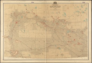
11.
Alberta, southern : map showing disposition of lands
12.
Alberta, southern : map showing disposition of lands
13.
Cereal map of Alberta : showing acreage under crop in each township in wheat, oats, barley and flax
14.
Map showing branches of chartered banks in Manitoba, Saskatchewan and Alberta
15.
Map showing elevators in Manitoba, Saskatchewan and Alberta
16.
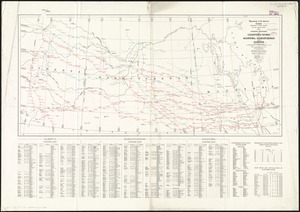
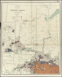
Northern Alberta : map showing disposition of lands
17.
Northern Alberta : map showing disposition of lands
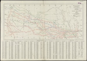
18.
Southern Alberta : map showing disposition of lands
19.
Anderson's map of the Upper Yukon and adjacent regions
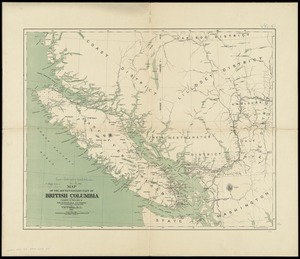
20.
British Columbia
‹ Prev
Next ›
1
2
3
4
5
…
434
435