Toggle navigation
LMEC Home
Exhibitions
Georeferencing
Tools for Teachers
Collections
My Favorites
Sign Up / Log In
Search
Search the map portal
Map Collection
Map Collection
Map Sets
Search
Search
Search for
Search In
All Fields
Creator
Title
Subject
Place
Search All Digital Collections
Advanced Search
8716 Results
My Search
Start Over
More Like
commonwealth:4m90ff28x
Remove constraint More Like: commonwealth:4m90ff28x
Filter your Search
Place
North and Central America
5,947
United States
4,861
Massachusetts
2,079
Europe
1,396
Suffolk (county)
1,046
Boston
1,019
Canada
470
Asia
438
more
Place
»
Topic
Boston (Mass.)--Maps
586
United States--Maps
294
Real property--Massachusetts--Boston--Maps
175
Massachusetts--Maps
162
Landowners--Massachusetts--Boston--Maps
133
New England--Maps
107
North America--Maps--Early works to 1800
103
Europe--Maps
79
more
Topic
»
Date
Date range begin
–
Date range end
Current results range from
1482
to
2023
View distribution
Creator
United States. Hydrographic Office
595
O.H. Bailey & Co
148
Des Barres, Joseph F. W. (Joseph Frederick Wallet), 1722-1824
123
United States. Post Office Dept
120
Ptolemy, 2nd cent
100
Walling, Henry Francis, 1825-1888
94
Geological Survey (U.S.)
86
Jefferys, Thomas, -1771
85
more
Creator
»
Format
Maps/Atlases
8,656
Manuscripts
215
Prints
56
Books
36
Objects/Artifacts
10
Drawings/Illustrations
8
Posters
5
Georeferenced
Yes
869
No
7,847
Collection
Norman B. Leventhal Map & Education Center Collection
8,694
Boston and New England Maps
2,233
Urban Maps
2,023
Maritime Charts and Atlases
1,083
American Revolutionary War-Era Maps
638
Boston Redevelopment Authority Collection
87
American Antiquarian Society Collection
14
William L. Clements Library Collection
8
Available to use
No known restrictions
8,552
Creative Commons license
47
Search Constraints
Sort by relevance
relevance
title
date (asc)
date (desc)
Number of results to display per page
20 per page
10
per page
20
per page
50
per page
100
per page
View results as:
grid view
map view
Search Results
2961.
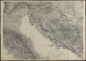
Italian-Austrian frontier
2962.
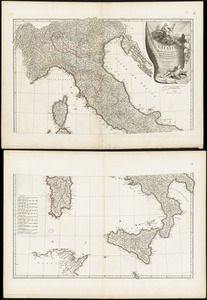
L'Italie : publiée sous les auspices de Monseigneur le Duc d'Orleans, Prémier Prince du Sang
2963.
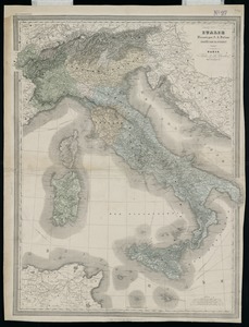
Italie
2964.
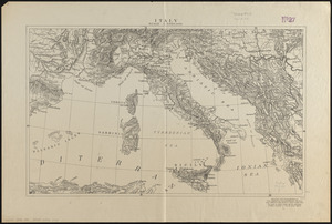
Italy
2965.
Italy
2966.
Italy
2967.
Italy
2968.
Italy, and Sardinia, from the best authorities
2969.
Italy with Vatican City
2970.
Iuliacensis et Montensis Ducatus = De Hertoghdomen Gulick en Berghe
2971.
Iutiae tabula in quae sunt dioeceses Alburgensis, Wiburgensis, Ripensis et Arhusiensis quae et sunt divisae in omnia dominia
2972.
J. Schedler's relief map of Boston and environs
2973.
J. Schedler's relief map of the White Mountains, N.H
2974.
Jackson County, Wis.
2975.
Jamaica
2976.
Jamaica, from the latest surveys
2977.
Jamaica Park and Bussey Farm Parkway : West Roxbury district
2978.
Jamaica Plain, Massachusetts : Ward 23, City of Boston, 1891
2979.
Jamaica Plain view of the world
2980.
Jamaica Pond master plan
‹ Prev
Next ›
1
2
…
145
146
147
148
149
150
151
152
153
…
435
436