Toggle navigation
LMEC Home
Exhibitions
Georeferencing
Tools for Teachers
Collections
My Favorites
Sign Up / Log In
Search
Search the map portal
Map Collection
Map Collection
Map Sets
Search
Search
Search for
Search In
All Fields
Creator
Title
Subject
Place
Search All Digital Collections
Advanced Search
8753 Results
My Search
Start Over
More Like
commonwealth:4m90fd86m
Remove constraint More Like: commonwealth:4m90fd86m
Filter your Search
Place
North and Central America
5,981
United States
4,896
Massachusetts
2,079
Europe
1,396
Suffolk (county)
1,046
Boston
1,019
Canada
472
Asia
438
more
Place
»
Topic
Boston (Mass.)--Maps
586
United States--Maps
330
Real property--Massachusetts--Boston--Maps
175
Massachusetts--Maps
162
Landowners--Massachusetts--Boston--Maps
133
New England--Maps
107
North America--Maps--Early works to 1800
103
Europe--Maps
79
more
Topic
»
Date
Date range begin
–
Date range end
Current results range from
1482
to
2023
View distribution
Creator
United States. Hydrographic Office
595
O.H. Bailey & Co
148
Des Barres, Joseph F. W. (Joseph Frederick Wallet), 1722-1824
123
United States. Post Office Dept
120
Ptolemy, 2nd cent
100
Walling, Henry Francis, 1825-1888
94
Geological Survey (U.S.)
87
Jefferys, Thomas, -1771
85
more
Creator
»
Format
Maps/Atlases
8,693
Manuscripts
215
Prints
56
Books
36
Objects/Artifacts
10
Drawings/Illustrations
8
Posters
5
Georeferenced
Yes
870
No
7,883
Collection
Norman B. Leventhal Map & Education Center Collection
8,700
Boston and New England Maps
2,233
Urban Maps
2,023
Maritime Charts and Atlases
1,083
American Revolutionary War-Era Maps
667
Boston Redevelopment Authority Collection
87
Maps from AAS
23
William L. Clements Library Collection
20
more
Collection
»
Available to use
No known restrictions
8,556
Creative Commons license
50
Search Constraints
Sort by relevance
relevance
title
date (asc)
date (desc)
Number of results to display per page
20 per page
10
per page
20
per page
50
per page
100
per page
View results as:
grid view
map view
Search Results
4661.
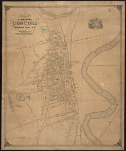
Map of the village of Concord, Merrimack County, N.H
4662.
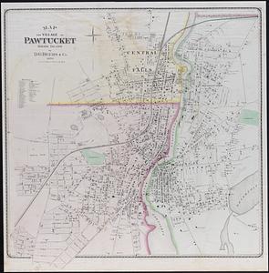
Map of the village of Pawtucket Rhode Island
4663.
Map of the Virginian Railway
4664.
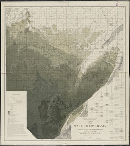
Map of the Warrior coal basin with columnar sections of formation, so far as it carries workable coals
4665.
Map of the water region of the county of Middlesex exhibiting the mode of supplying Boston & Charlestown with soft water from...
4666.
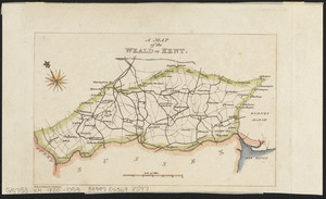
A map of the Weald of Kent
4667.
Map of the West Indies
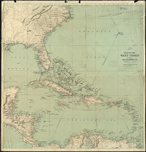
4668.
A map of the West Indies and the Spanish Main
4669.
Map of the West Shore Railroad and connections
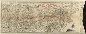
4670.
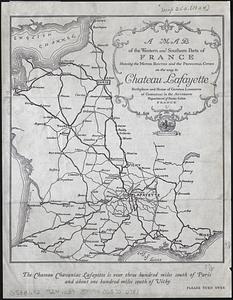
A map of the western and southern parts of France showing the motor routes and the principal cities on the way to Chateau...
4671.
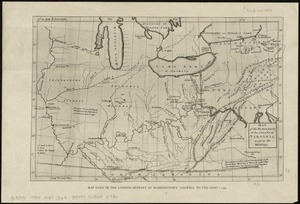
Map of the western parts of the colony of Virginia, as far as the Mississipi
4672.
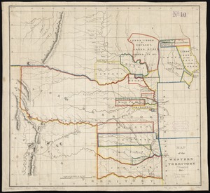
Map of the Western Territory &c
4673.
A map of the West-Indies &c. Mexico or New Spain : also ye trade winds, and ye several tracts made by ye galeons and flota from...
4674.
A map of the West-Indies or the islands of America in the North Sea : with ye adjacent countries; explaning [sic] what belongs...
4675.
A map of the West-Indies or the islands of America in the North Sea : with ye adjacent countries; explaning [sic] what belongs...
4676.
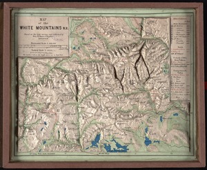
Map of the White Mountains, N.H : based on the best surveys
4677.
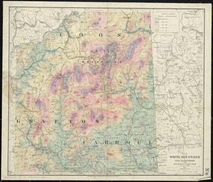
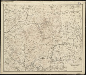
Map of the White Mountains, N.H
4678.
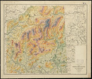
Map of the White Mountains of New Hampshire from Walling's large map of the state, 1881
4679.
Map of the White Mountains of New Hampshire from Walling's map of the state, 1877
4680.
Map of the White Mountains of New Hampshire from Walling's map of the state 1877
‹ Prev
Next ›
1
2
…
230
231
232
233
234
235
236
237
238
…
437
438