Toggle navigation
LMEC Home
Exhibitions
Georeferencing
Tools for Teachers
Collections
My Favorites
Sign Up / Log In
Search
Search the map portal
Map Collection
Map Collection
Map Sets
Search
Search
Search for
Search In
All Fields
Creator
Title
Subject
Place
Search All Digital Collections
Advanced Search
8840 Results
My Search
Start Over
More Like
commonwealth:4742dg72h
Remove constraint More Like: commonwealth:4742dg72h
Filter your Search
Place
North and Central America
6,071
United States
4,989
Massachusetts
2,124
Europe
1,396
Suffolk (county)
1,191
Boston
1,164
Canada
449
Asia
438
more
Place
»
Topic
Boston (Mass.)--Maps
619
United States--Maps
282
Real property--Massachusetts--Boston--Maps
220
City planning--Massachusetts--Boston--Maps
168
Landowners--Massachusetts--Boston--Maps
168
Massachusetts--Maps
162
Buildings--Massachusetts--Boston--Maps
125
North America--Maps--Early works to 1800
103
more
Topic
»
Date
Date range begin
–
Date range end
Current results range from
1482
to
2023
View distribution
Creator
United States. Hydrographic Office
595
Boston Redevelopment Authority
165
O.H. Bailey & Co
148
Des Barres, Joseph F. W. (Joseph Frederick Wallet), 1722-1824
123
United States. Post Office Dept
120
Ptolemy, 2nd cent
100
Walling, Henry Francis, 1825-1888
94
Geological Survey (U.S.)
86
more
Creator
»
Format
Maps/Atlases
8,779
Manuscripts
215
Prints
56
Books
36
Objects/Artifacts
10
Drawings/Illustrations
9
Posters
5
Georeferenced
Yes
871
No
7,969
Collection
Norman B. Leventhal Map & Education Center Collection
8,700
Boston and New England Maps
2,340
Urban Maps
2,129
Maritime Charts and Atlases
1,083
American Revolutionary War-Era Maps
620
Boston Redevelopment Authority Collection
189
Massachusetts Real Estate Atlases
34
Mapping Boston Collection
3
more
Collection
»
Available to use
No known restrictions
8,658
Creative Commons license
50
Search Constraints
Sort by relevance
relevance
title
date (asc)
date (desc)
Number of results to display per page
20 per page
10
per page
20
per page
50
per page
100
per page
View results as:
grid view
map view
Search Results
181.
Charlestown project no. Mass r-42 (GN) : existing circulation
182.
Charlestown project no. Mass r-42 (GN) : existing zoning
183.
Charlestown project no. Mass r-42 (GN) : proposed treatment areas and project boundaries
184.
Charlestown project no. Mass r-42 (GN) : population distribution
185.
Charlestown renewal area : locality map
186.
Charlestown renewal area : existing land use
187.
Charlestown urban renewal area, Massachusetts R-55 : illustrative site plan
188.
Charlestown urban renewal area Massachusetts R-55 : illustrative site plan
189.
Charlestown urban renewal area r-42 : GNRP map no. 2
190.
Charlestown urban renewal area r-42 : GNRP map no. 1
191.
Charlestown urban renewal area r-55 : property map and perimeter boundaries
192.
Charlestown urban renewal area r-55 : proposed land use
193.
Charlestown urban renewal area r-55 : existing land use
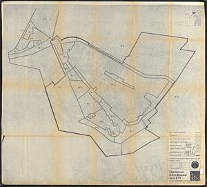
194.
Charlestown urban renewal area r-55 : right of way adjustments
195.
Charlestown urban renewal area r-55 : existing land use
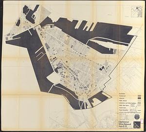
196.
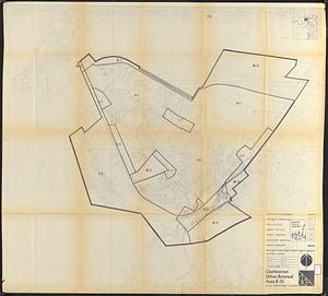
Charlestown urban renewal area r-55 : existing zoning
197.
Charlestown urban renewal area r-55 : proposed zoning
198.
Map of Boston naval shipyard, Boston, Mass. showing conditions on Jan. 1, 1966
199.
Plan of the town of Boston with the attack on Bunkers-Hill in the peninsula of Charlestown the 17th of June 1775
200.
Sketch of the action on the heights of Charlestown, June 17th, 1775, between His Majesty's troops, under the command, of Major...
‹ Prev
Next ›
1
2
…
6
7
8
9
10
11
12
13
14
…
441
442