Toggle navigation
LMEC Home
Exhibitions
Georeferencing
Tools for Teachers
Collections
My Favorites
Sign Up / Log In
Search
Search the map portal
Map Collection
Map Collection
Map Sets
Search
Search
Search for
Search In
All Fields
Creator
Title
Subject
Place
Search All Digital Collections
Advanced Search
8976 Results
My Search
Start Over
More Like
commonwealth:3t947b90p
Remove constraint More Like: commonwealth:3t947b90p
Filter your Search
Place
North and Central America
6,211
United States
5,094
Massachusetts
2,087
Europe
1,392
Suffolk (county)
1,066
Boston
1,034
Canada
463
Asia
437
more
Place
»
Topic
Boston (Mass.)--Maps
592
United States--History--Revolution, 1775-1783--Maps
330
United States--Maps
280
Real property--Massachusetts--Boston--Maps
175
Massachusetts--Maps
162
Landowners--Massachusetts--Boston--Maps
133
New England--Maps
103
North America--Maps--Early works to 1800
103
more
Topic
»
Date
Date range begin
–
Date range end
Current results range from
1482
to
2023
View distribution
Creator
United States. Hydrographic Office
595
O.H. Bailey & Co
148
Des Barres, Joseph F. W. (Joseph Frederick Wallet), 1722-1824
124
United States. Post Office Dept
120
Ptolemy, 2nd cent
100
Walling, Henry Francis, 1825-1888
94
Geological Survey (U.S.)
86
Jefferys, Thomas, -1771
86
more
Creator
»
Format
Maps/Atlases
8,909
Manuscripts
219
Prints
57
Books
36
Drawings/Illustrations
14
Objects/Artifacts
10
Posters
5
Georeferenced
Yes
872
No
8,104
Collection
Norman B. Leventhal Map & Education Center Collection
8,649
Boston and New England Maps
2,222
Urban Maps
1,992
Maritime Charts and Atlases
1,083
American Revolutionary War-Era Maps
944
William L. Clements Library Collection
306
Boston Redevelopment Authority Collection
87
American Antiquarian Society Collection
9
more
Collection
»
Available to use
No known restrictions
8,507
Creative Commons license
54
Search Constraints
Sort by relevance
relevance
title
date (asc)
date (desc)
Number of results to display per page
20 per page
10
per page
20
per page
50
per page
100
per page
View results as:
grid view
map view
Search Results
61.
Disposition of the British forces before Charleston 1780
62.
Disposition of the British forces on Long Island, Staten Island, and Manhattan Island, under Cornwallis and Knyphausen
63.
Distances North River
64.
Distribution & strength of corps 1780
65.
A draft of the Nerernanset shore from the entrance to the mouth of Potewomet River northward and from the Nererganset Bay to...
66.
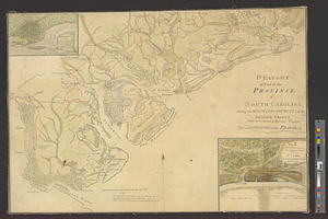
Draught of part of the province of South Carolina shewing the march & encampments of the British troops under the command of...
67.
A draught of Rhode Island, 1777
68.
A draught of the towns of Boston & Charles Town & the circumjacent country, shewing the works thrown up by the kings troops, &...
69.
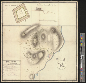
Draught of the watering place & redouts constructed to defend it, 15th: July 1776
70.
Exact plan of General Gage's lines on Boston Neck in America
71.
Flatbush
72.
Fort Germain and neighboring posts
73.
Fort Independence to Slaughter's Landing
74.
Fort Lafayette and Verplank Point
75.
Fort Lee
76.
Forts of the Highlands, ca. 1777
77.
Fragment of map showing two small fortifications
78.
From Fishkill Creek to the Croton River
79.
From Freehold toward Trenton
80.
A front view of Fort George Majabigwaduce June 1780
‹ Prev
Next ›
1
2
3
4
5
6
7
8
…
448
449