Toggle navigation
LMEC Home
Exhibitions
Georeferencing
Tools for Teachers
Collections
My Favorites
Sign Up / Log In
Search
Search the map portal
Map Collection
Map Collection
Map Sets
Search
Search
Search for
Search In
All Fields
Creator
Title
Subject
Place
Search All Digital Collections
Advanced Search
1066 Results
My Search
Start Over
More Like
commonwealth:3f467621f
Remove constraint More Like: commonwealth:3f467621f
Filter your Search
Place
North and Central America
1,054
United States
1,035
Massachusetts
909
Suffolk (county)
749
Boston
747
Downtown Boston
35
Middlesex (county)
33
Rhode Island
31
more
Place
»
Topic
Boston (Mass.)--Maps
752
Massachusetts--Maps
235
City planning--Massachusetts--Boston--Maps
104
Real property--Massachusetts--Boston--Maps
100
Landowners--Massachusetts--Boston--Maps
74
Urban renewal--Massachusetts--Boston--Maps
63
Local transit--Massachusetts--Boston--Maps
47
Land use--Massachusetts--Boston--Maps
35
more
Topic
»
Date
Date range begin
–
Date range end
Current results range from
1743
to
2023
View distribution
Creator
Boston Redevelopment Authority
115
MassGIS (Office : Mass.)
63
Applied Geographics, Inc.
61
Massachusetts. Executive Office of Environmental Affairs
40
Geo. H. Walker & Co
32
Boynton, George W., d. 1884
22
Boston Public Library. Norman B. Leventhal Map and Education Center
21
Sampson, Davenport & Co
21
more
Creator
»
Format
Maps/Atlases
1,063
Manuscripts
12
Ephemera
2
Prints
1
Georeferenced
Yes
151
No
915
Collection
Norman B. Leventhal Map & Education Center Collection
899
Boston and New England Maps
809
Urban Maps
521
Applied Geographics, Inc. Records
144
Boston Redevelopment Authority Collection
123
American Revolutionary War-Era Maps
45
Mapping Boston Collection
22
David Judkins Weaver Papers
20
more
Collection
»
Available to use
No known restrictions
963
Creative Commons license
45
Search Constraints
Sort by relevance
relevance
title
date (asc)
date (desc)
Number of results to display per page
20 per page
10
per page
20
per page
50
per page
100
per page
View results as:
grid view
map view
Search Results
761.
[Mill dam survey : Boston, Roxbury, Brookline &c.]
762.
Most popular mode of commuting : 2014-2018 American Community Survey
763.
Nanitz' great mercantile map of Boston
764.
NASA Electronic Research Center : evaluation of proposed sites in Boston
765.
Neighborhood boundaries 1980
766.
Neighborhoods of Boston
767.
A new & complete map of the city of Boston, and precincts including part of Charlestown, Cambridge & Roxbury : from the best...
768.
A new & complete map of the city of Boston, and precincts including part of Charlestown, Cambridge & Roxbury : from the best...
769.
A new & complete map of the city of Boston, with part of Charlestown, Cambridge & Roxbury : from the best authorities
770.
A new & complete map of the city of Boston, with part of Charlestown, Cambridge & Roxbury
771.
A new & complete map of the city of Boston, with part of Charlestown, Cambridge & Roxbury
772.
A new & complete map of the city of Boston, with part of Charlestown, Cambridge & Roxbury
773.
A new & complete map of the city of Boston, with part of Charlestown, Cambridge, Brookline, Dorchester &c
774.
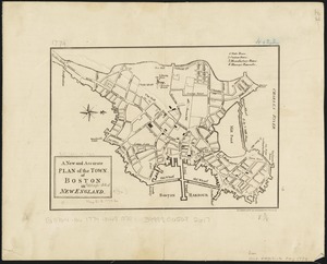
A new and accurate plan of the town of Boston in New England
775.
A new and correct plan of the town of Boston
776.
New Boston and Charles River Bay
777.
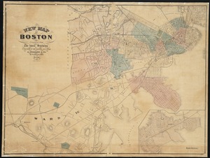
New map of Boston
778.
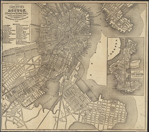
New map of Boston, comprising the whole city, with the new boundaries of the wards
779.
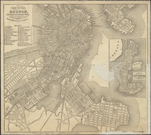
New map of Boston, comprising the whole city, with the new boundaries of the wards
780.
New map of Boston, comprising the whole city, with the new boundaries of the wards
‹ Prev
Next ›
1
2
…
35
36
37
38
39
40
41
42
43
…
53
54