Toggle navigation
LMEC Home
Exhibitions
Georeferencing
Tools for Teachers
Collections
My Favorites
Sign Up / Log In
Search
Search the map portal
Map Collection
Map Collection
Map Sets
Search
Search
Search for
Search In
All Fields
Creator
Title
Subject
Place
Search All Digital Collections
Advanced Search
8769 Results
My Search
Start Over
More Like
commonwealth:3f463b38r
Remove constraint More Like: commonwealth:3f463b38r
Filter your Search
Place
North and Central America
5,999
United States
4,901
Massachusetts
2,149
Europe
1,396
Suffolk (county)
1,047
Boston
1,020
Canada
450
Asia
438
more
Place
»
Topic
Boston (Mass.)--Maps
590
United States--Maps
282
Massachusetts--Maps
235
Real property--Massachusetts--Boston--Maps
175
Landowners--Massachusetts--Boston--Maps
133
New England--Maps
104
North America--Maps--Early works to 1800
103
Europe--Maps
79
more
Topic
»
Date
Date range begin
–
Date range end
Current results range from
1482
to
2023
View distribution
Creator
United States. Hydrographic Office
595
O.H. Bailey & Co
148
Des Barres, Joseph F. W. (Joseph Frederick Wallet), 1722-1824
123
United States. Post Office Dept
120
Ptolemy, 2nd cent
100
Walling, Henry Francis, 1825-1888
95
Geological Survey (U.S.)
92
Jefferys, Thomas, -1771
85
more
Creator
»
Format
Maps/Atlases
8,707
Manuscripts
217
Prints
57
Books
36
Objects/Artifacts
10
Drawings/Illustrations
8
Posters
5
Ephemera
1
Georeferenced
Yes
879
No
7,890
Collection
Norman B. Leventhal Map & Education Center Collection
8,738
Boston and New England Maps
2,280
Urban Maps
2,024
Maritime Charts and Atlases
1,083
American Revolutionary War-Era Maps
635
Boston Redevelopment Authority Collection
90
Applied Geographics, Inc. Records
20
David Judkins Weaver Papers
18
more
Collection
»
Available to use
No known restrictions
8,596
Creative Commons license
51
Search Constraints
Sort by relevance
relevance
title
date (asc)
date (desc)
Number of results to display per page
20 per page
10
per page
20
per page
50
per page
100
per page
View results as:
grid view
map view
Search Results
3241.
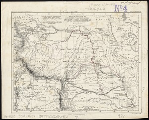
Karte zur übersicht der neuesten forschungen im innern Nord-Amerika's bis zum ostrande der Rocky Mts
3242.
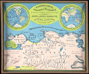
Karten-ideal zur elementaren darstellung der topischen verhältnisse von wasser und land auf dem erdboden, nebst der Oestl. &...
3243.
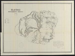
Kauai, government survey, 1878
3244.
Kaufmännische wandkarte der erde zur übersicht der handelsbeziehungen, dampfer- und kabel-verbindungen des Deutschen Reiches...
3245.
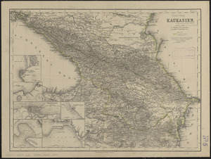
Kaukasien
3246.
Kawahe or Vincennes Island, Paumoto Group ; Raraka Island, Paumotu Group
3247.
Kawahe or Vincennes Island, Paumoto Group ; Raraka Island, Paumotu Group
3248.
Kelley's and Bass Islands showing the harbors of refuge in their vicinity being an extract from the survey of the west end of...
3249.
Kelly's map of the suburbs of London
3250.
Kentuckey
3251.
Kentucky
3252.
Kentucky and Tennessee
3253.
Kentucky and Tennessee
3254.
Kentucky, reduced from Elihu Barker's large map
3255.
Keppell Harbour : Knowles Harbour ; Tangier Harbour ; Saunder's Harbour ; Deane Harbour
3256.
The Keystone group : a new railroad, post-office, township and district map of Pennsylvania, New Jersey, Delaware, Maryland,...
3257.
King Georges Group ; Aratica or Carlshoff Island
3258.
King Georges Group ; Aratica or Carlshoff Island
3259.
The kingdom of Poland and Great Dutchy of Lithuania with all their divisions
3260.
Kingdom of the Caliphs
‹ Prev
Next ›
1
2
…
159
160
161
162
163
164
165
166
167
…
438
439