Search Constraints
Search Results
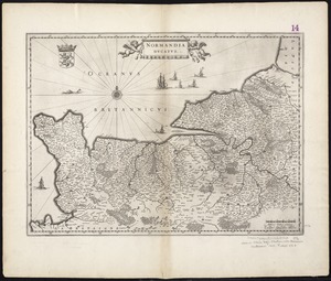
5821. Normandia ducatus
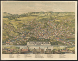
5824. North Adams, Mass.

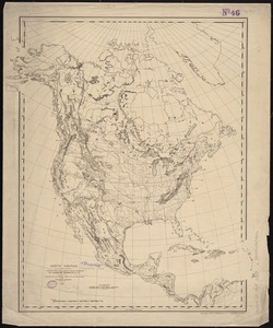
5825. North America

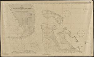
5826. North America

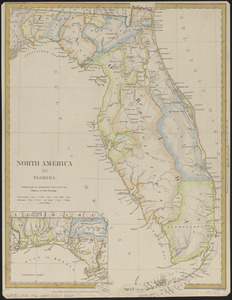
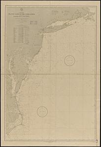
5829. North America : Florida

5830. North America


5832. North America


5835. North America

5836. North America

5837. North America