Search Constraints
Search Results
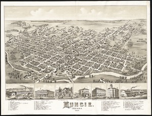
5421. Muncie, Indiana : 1884
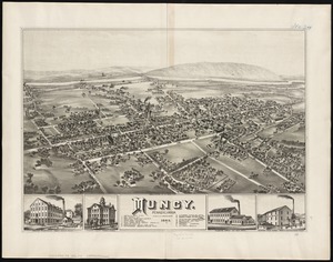
5422. Muncy : Pennsylvania
5423. Muskingum County, Ohio
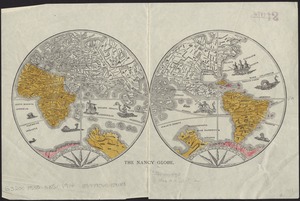
5428. The Nancy globe
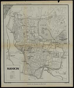
5429. Nankin

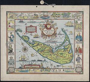
5431. Nantucket
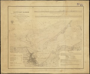
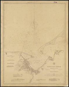
5432. Nantucket Harbor
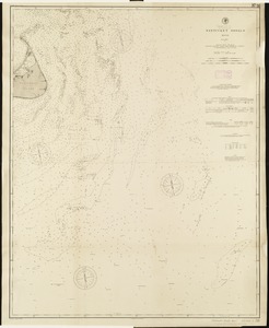
5435. Nantucket Shoals, Mass
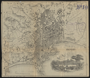
5436. Naples
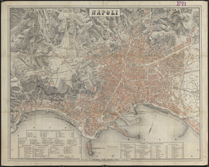
5437. Napoli
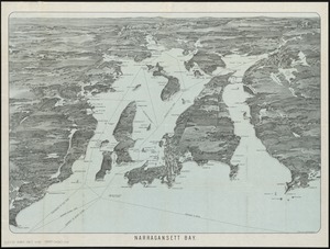
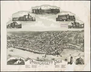
5438. Narragansett Bay