Toggle navigation
LMEC Home
Exhibitions
Georeferencing
Tools for Teachers
Collections
My Favorites
Sign Up / Log In
Search
Search the map portal
Map Collection
Map Collection
Map Sets
Search
Search
Search for
Search In
All Fields
Creator
Title
Subject
Place
Search All Digital Collections
Advanced Search
8889 Results
My Search
Start Over
More Like
commonwealth:3f4637074
Remove constraint More Like: commonwealth:3f4637074
Filter your Search
Place
North and Central America
6,120
United States
5,036
Massachusetts
2,135
Europe
1,396
Suffolk (county)
1,235
Boston
1,208
Canada
449
Asia
438
more
Place
»
Topic
Boston (Mass.)--Maps
752
United States--Maps
282
Real property--Massachusetts--Boston--Maps
223
Landowners--Massachusetts--Boston--Maps
169
Massachusetts--Maps
166
City planning--Massachusetts--Boston--Maps
159
New England--Maps
104
North America--Maps--Early works to 1800
103
more
Topic
»
Date
Date range begin
–
Date range end
Current results range from
1482
to
2023
View distribution
Creator
United States. Hydrographic Office
595
Boston Redevelopment Authority
163
O.H. Bailey & Co
148
Des Barres, Joseph F. W. (Joseph Frederick Wallet), 1722-1824
124
United States. Post Office Dept
120
Ptolemy, 2nd cent
100
Walling, Henry Francis, 1825-1888
94
Geological Survey (U.S.)
87
more
Creator
»
Format
Maps/Atlases
8,829
Manuscripts
215
Prints
56
Books
36
Objects/Artifacts
10
Drawings/Illustrations
8
Posters
5
Georeferenced
Yes
885
No
8,004
Collection
Norman B. Leventhal Map & Education Center Collection
8,723
Boston and New England Maps
2,359
Urban Maps
2,143
Maritime Charts and Atlases
1,083
American Revolutionary War-Era Maps
638
Boston Redevelopment Authority Collection
193
Massachusetts Real Estate Atlases
38
Mapping Boston Collection
20
more
Collection
»
Available to use
No known restrictions
8,666
Creative Commons license
70
Search Constraints
Sort by relevance
relevance
title
date (asc)
date (desc)
Number of results to display per page
20 per page
10
per page
20
per page
50
per page
100
per page
View results as:
grid view
map view
Search Results
3461.
Indian Territory
3462.
Indian Territory showing railroad systems - June 30, 1902
3463.
Indian Territory showing townsites approved to June 30-1902
3464.
Indian Territory, with part of the adjoining state of Kansas, &c
3465.
Indians of the U.S.A.
3466.
Indicazione del piu rimarcabile in Napoli e contorni
3467.
Indie interioris civitates decima Asia tabula continet India int. Gangem
3468.
Indie Occidentali
3469.
Indo-Chine, carte de la mission Pavie
3470.
Industrial map of New England
3471.
Infrastructure around Tobin Bridge/US route 1 in Charlestown
3472.
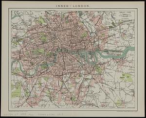
Inner-London
3473.
Innocence abroad
3474.
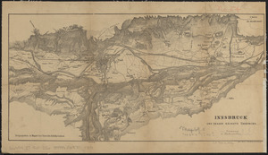
Innsbruck und dessen nächste umgebung
3475.
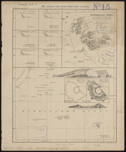
Die inseln des Südl. Indischen Oceans, meist nach Englischen aufnahmen zusammengestellt
3476.
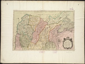
Insubres in Segusianis : partie du dioecese et archevche de Lyon : partie septentrionale de Bresse, Bugey, et Valromey,...
3477.
Insubres in Segusianis : partie du dioecese, et Archevesché de Lyon : partie méridionale de la Bresse du Bugey, et Valromey,...
3478.
Insula Borneo et occidentalis pars Celebris, cum adjacentibus insulis
3479.
Insula Candia : ejusque fortificatio
3480.
Insula Gaditana, vulgo Isla de Cadiz
‹ Prev
Next ›
1
2
…
170
171
172
173
174
175
176
177
178
…
444
445