Toggle navigation
LMEC Home
Exhibitions
Georeferencing
Tools for Teachers
Collections
My Favorites
Sign Up / Log In
Search
Search the map portal
Map Collection
Map Collection
Map Sets
Search
Search
Search for
Search In
All Fields
Creator
Title
Subject
Place
Search All Digital Collections
Advanced Search
8719 Results
My Search
Start Over
More Like
commonwealth:3f463327s
Remove constraint More Like: commonwealth:3f463327s
Filter your Search
Place
North and Central America
5,950
United States
4,863
Massachusetts
2,079
Europe
1,396
Suffolk (county)
1,046
Boston
1,019
Canada
449
Asia
438
more
Place
»
Topic
Boston (Mass.)--Maps
586
United States--Maps
282
Real property--Massachusetts--Boston--Maps
175
Massachusetts--Maps
162
Landowners--Massachusetts--Boston--Maps
133
North America--Maps--Early works to 1800
103
New England--Maps
102
Europe--Maps
79
more
Topic
»
Date
Date range begin
–
Date range end
Current results range from
1482
to
2023
View distribution
Creator
United States. Hydrographic Office
595
O.H. Bailey & Co
148
Des Barres, Joseph F. W. (Joseph Frederick Wallet), 1722-1824
123
United States. Post Office Dept
120
Ptolemy, 2nd cent
100
Walling, Henry Francis, 1825-1888
94
Geological Survey (U.S.)
86
Jefferys, Thomas, -1771
86
more
Creator
»
Format
Maps/Atlases
8,659
Manuscripts
216
Prints
56
Books
36
Objects/Artifacts
10
Drawings/Illustrations
8
Posters
5
Georeferenced
Yes
869
No
7,850
Collection
Norman B. Leventhal Map & Education Center Collection
8,701
Boston and New England Maps
2,233
Urban Maps
2,023
Maritime Charts and Atlases
1,084
American Revolutionary War-Era Maps
633
Boston Redevelopment Authority Collection
87
William L. Clements Library Collection
10
David Judkins Weaver Papers
7
more
Collection
»
Available to use
No known restrictions
8,559
Creative Commons license
49
Search Constraints
Sort by relevance
relevance
title
date (asc)
date (desc)
Number of results to display per page
20 per page
10
per page
20
per page
50
per page
100
per page
View results as:
grid view
map view
Search Results
81.
State of Virginia : stations and transmission lines used in public service in 1925 and gaging stations
82.
State of Virginia coal fields and producing districts, September 1919
83.
The state of Virginia from the best authorities
84.
Virginia
85.
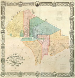
Map of Washington City
86.
Plan of part of the city of Washington : on which is shewn the squares, lots, &c., divided between William Prout Esq'r and the...
87.
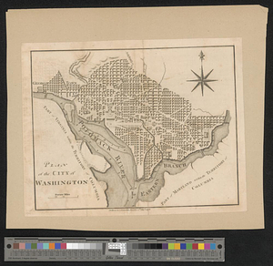
Plan of the city of Washington
88.
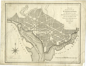
Plan of the city of Washington; now building for the metropolis of America, and established as the permanent residence of...
89.
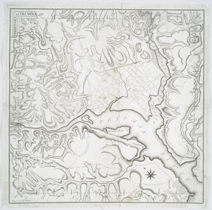
Territory of Columbia
90.
Bermuda Hundred
91.
Chancellorville
92.
High Bridge and Farmville
93.
Richmond
94.
Spottsylvania Court House
95.
Totopotomoy
96.
The Wilderness
97.
Carte de la Virginie, : de la Baye Chesapeack, et pays voisins. : Pour servir à l'Histoire générale des voyages. : Tirée...
98.
Confluence of the James River, York River, and Chesapeake Bay
99.
Delaware Bay and Chesapeake Bay
100.
Delaware Bay and Chesapeake Bay
‹ Prev
Next ›
1
2
3
4
5
6
7
8
9
…
435
436