Toggle navigation
LMEC Home
Exhibitions
Georeferencing
Tools for Teachers
Collections
My Favorites
Sign Up / Log In
Search
Search the map portal
Map Collection
Map Collection
Map Sets
Search
Search
Search for
Search In
All Fields
Creator
Title
Subject
Place
Search All Digital Collections
Advanced Search
8713 Results
My Search
Start Over
More Like
commonwealth:3f4631769
Remove constraint More Like: commonwealth:3f4631769
Filter your Search
Place
North and Central America
5,944
United States
4,862
Massachusetts
2,088
Europe
1,396
Suffolk (county)
1,063
Boston
1,036
Canada
449
Asia
438
more
Place
»
Topic
Boston (Mass.)--Maps
586
United States--Maps
282
Real property--Massachusetts--Boston--Maps
175
Massachusetts--Maps
162
Landowners--Massachusetts--Boston--Maps
133
North America--Maps--Early works to 1800
103
New England--Maps
102
Europe--Maps
79
more
Topic
»
Date
Date range begin
–
Date range end
Current results range from
1482
to
2023
View distribution
Creator
United States. Hydrographic Office
595
O.H. Bailey & Co
148
Des Barres, Joseph F. W. (Joseph Frederick Wallet), 1722-1824
123
United States. Post Office Dept
120
Ptolemy, 2nd cent
100
Walling, Henry Francis, 1825-1888
94
Geological Survey (U.S.)
86
Jefferys, Thomas, -1771
85
more
Creator
»
Format
Maps/Atlases
8,653
Manuscripts
216
Prints
56
Books
36
Objects/Artifacts
10
Drawings/Illustrations
8
Posters
5
Georeferenced
Yes
871
No
7,842
Collection
Norman B. Leventhal Map & Education Center Collection
8,702
Boston and New England Maps
2,241
Urban Maps
2,028
Maritime Charts and Atlases
1,083
American Revolutionary War-Era Maps
633
Boston Redevelopment Authority Collection
87
Mapping Boston Collection
8
Library of Congress Collection
3
more
Collection
»
Available to use
No known restrictions
8,554
Creative Commons license
62
Search Constraints
Sort by relevance
relevance
title
date (asc)
date (desc)
Number of results to display per page
20 per page
10
per page
20
per page
50
per page
100
per page
View results as:
grid view
map view
Search Results
3721.
Map of military road from Fort Walla Walla on the Columbia to Fort Benton on the Missouri
3722.
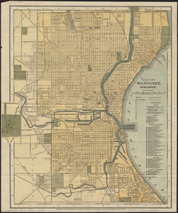
Map of Milwaukee, Wisconsin
3723.
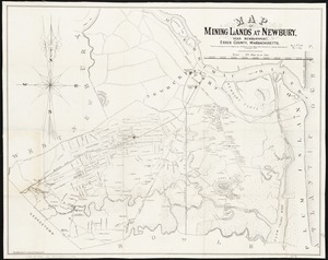
Map of mining lands at Newbury, near Newburyport, Essex County, Massachusetts
3724.
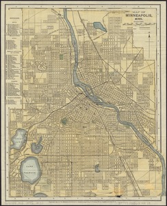
Map of Minneapolis, Minn
3725.
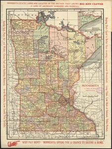
Map of Minnesota : a state of great opportunities
3726.
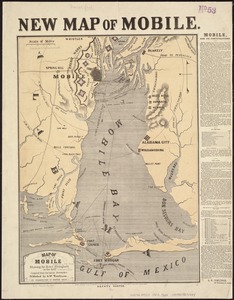
Map of Mobile showing the Rebel stronghold in the Gulf
3727.
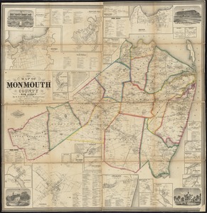
Map of Monmouth County, New Jersey
3728.
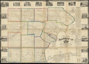
Map of Monroe County, Michigan
3729.
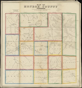
Map of Monroe County, Wisconsin
3730.
Map of Montague Village
3731.
Map of Morris's Purchase or West Geneseo in the state of New York : exhibiting part of the Lakes Erie and Ontario, the...
3732.
Map of Morristown : Morris County New Jersey
3733.
Map of Mount Desert Island, Maine
3734.
Map of Mount Desert Island, Maine
3735.
Map of Mount Desert Island, Maine
3736.
Map of n. eastern Virginia and vicinity of Washington
3737.
Map of Nebraska showing the Union Pacific Railroad land grant
3738.
Map of New Bedford
3739.
Map of New Bedford and Fairhaven
3740.
Map of New England
‹ Prev
Next ›
1
2
…
183
184
185
186
187
188
189
190
191
…
435
436