Toggle navigation
LMEC Home
Exhibitions
Georeferencing
Tools for Teachers
Collections
My Favorites
Sign Up / Log In
Search
Search the map portal
Map Collection
Map Collection
Map Sets
Search
Search
Search for
Search In
All Fields
Creator
Title
Subject
Place
Search All Digital Collections
Advanced Search
8718 Results
My Search
Start Over
More Like
commonwealth:3f462z93c
Remove constraint More Like: commonwealth:3f462z93c
Filter your Search
Place
North and Central America
5,949
United States
4,865
Massachusetts
2,079
Europe
1,396
Suffolk (county)
1,046
Boston
1,019
Canada
454
Asia
438
more
Place
»
Topic
Boston (Mass.)--Maps
586
United States--Maps
282
Real property--Massachusetts--Boston--Maps
175
Massachusetts--Maps
163
Landowners--Massachusetts--Boston--Maps
133
New England--Maps
105
North America--Maps--Early works to 1800
103
Europe--Maps
79
more
Topic
»
Date
Date range begin
–
Date range end
Current results range from
1482
to
2023
View distribution
Creator
United States. Hydrographic Office
595
O.H. Bailey & Co
148
Des Barres, Joseph F. W. (Joseph Frederick Wallet), 1722-1824
123
United States. Post Office Dept
120
Ptolemy, 2nd cent
100
Walling, Henry Francis, 1825-1888
94
Geological Survey (U.S.)
90
Jefferys, Thomas, -1771
85
more
Creator
»
Format
Maps/Atlases
8,658
Manuscripts
218
Prints
56
Books
36
Objects/Artifacts
10
Drawings/Illustrations
8
Posters
5
Georeferenced
Yes
869
No
7,849
Collection
Norman B. Leventhal Map & Education Center Collection
8,699
Boston and New England Maps
2,237
Urban Maps
2,023
Maritime Charts and Atlases
1,083
American Revolutionary War-Era Maps
633
Boston Redevelopment Authority Collection
87
Maps from AAS
8
William L. Clements Library Collection
6
more
Collection
»
Available to use
No known restrictions
8,557
Creative Commons license
48
Search Constraints
Sort by relevance
relevance
title
date (asc)
date (desc)
Number of results to display per page
20 per page
10
per page
20
per page
50
per page
100
per page
View results as:
grid view
map view
Search Results
5301.
Newfoundland, n. e. coast, St. Lunaire Bay
5302.
Newfoundland--east coast, Conception Bay, Carbonear to Brigus Bay including Harbor Grace : from a Brit. survey in 1866,...
5303.
Newfoundland--south coast, the Burgeo Islands : from British surveys in 1872 ; republication of Brit. Admty. chart no. 272
5304.
New-Hampshire : from late survey
5305.
Newport, N.H. 1895
5306.
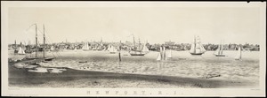
Newport, Rhode Island
5307.
Newport, R.I : view from Fort Wolcott, Goat Island
5308.
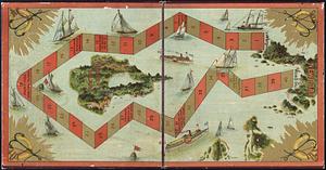
The Newport yacht race : an exciting game
5309.
Newsmap : week of October 14 to October 21, 215th week of the war, 97th week of U.S. participation. Monday, October 25, 1943
5310.
Newsmap : week of December 16 to December 22, 224th week of the war, 106th week of U.S. Participation. Monday, December 27, 1943
5311.
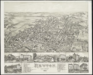
Newton : New Jersey
5312.
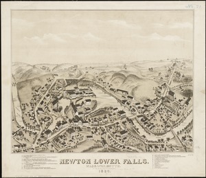
Newton Lower Falls, Massachusetts : 1880
5313.
Newton Upper Falls, Massachusetts, 1888
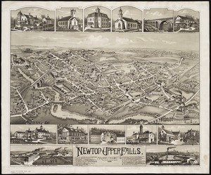
5314.
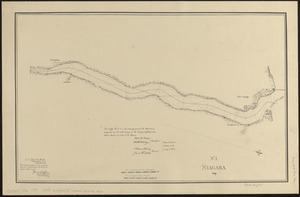
Niagara 1819
5315.
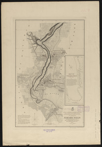
Niagara Falls : from surveys executed under the orders of Major C.B. Comstock, Corps of Engineers, Brvt. Brigadier General...
5316.
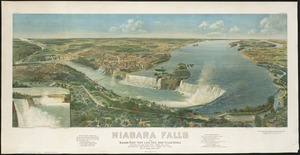
Niagara Falls and Niagara River from Lake Erie down to Lake Ontario
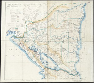
5317.
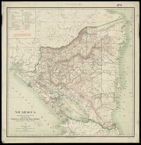
Nicaragua
5318.
Nicaragua
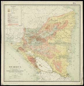
5319.
Nicaragua
5320.
The Nicolls map, 1664-1668
‹ Prev
Next ›
1
2
…
262
263
264
265
266
267
268
269
270
…
435
436