Toggle navigation
LMEC Home
Exhibitions
Georeferencing
Tools for Teachers
Collections
My Favorites
Sign Up / Log In
Search
Search the map portal
Map Collection
Map Collection
Map Sets
Search
Search
Search for
Search In
All Fields
Creator
Title
Subject
Place
Search All Digital Collections
Advanced Search
109 Results
My Search
Start Over
More Like
commonwealth:3f462s808
Remove constraint More Like: commonwealth:3f462s808
Filter your Search
Place
North and Central America
102
New England
88
United States
36
Middle Atlantic
20
Canada
13
Northeastern United States
10
New York
9
Massachusetts
8
more
Place
»
Topic
New England--Maps--Early works to 1800
91
Middle Atlantic States--Maps--Early works to 1800
20
Northeastern States--Maps--Early works to 1800
10
New York (State)--Maps--Early works to 1800
8
Maritime Provinces--Maps--Early works to 1800
6
Massachusetts--Maps--Early works to 1800
6
Boston (Mass.)--Maps--Early works to 1800
5
Boston Harbor (Mass.)--Maps--Early works to 1800
5
more
Topic
»
Date
Date range begin
–
Date range end
Current results range from
1483
to
1999
View distribution
Creator
Jefferys, Thomas, d. 1771
8
Bachelder, John B. (John Badger), 1825-1894
4
Bellin, Jacques Nicolas, 1703-1772
4
Green, John, d. 1757
4
Jefferys, Thomas, -1771
4
Bien, Julius, 1826-1909
3
Bowles, Carington, 1724-1793
3
Brady, Mathew B., approximately 1823-1896
3
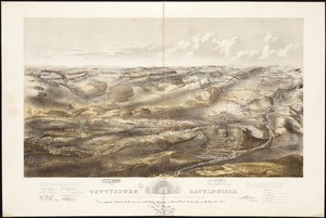
more
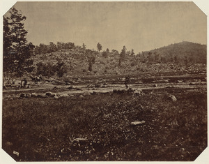
Creator
»
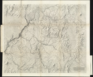
Format
Maps/Atlases
104
Manuscripts
4
Photographs
3
Books
1
Documents
1
Georeferenced
Yes
8
No
101
Collection
Norman B. Leventhal Map Center Collection
79
American Revolutionary War-Era Maps
49
Boston and New England Maps
31
Mapping Boston Collection
23
Sidney R. Knafel Map Collection at Phillips Academy
15
Maritime Charts and Atlases
10
Richard H. Brown Revolutionary War Map Collection at Mount Vernon
6
New York Public Library Collection
3
more
Collection
»
Available to use
No known restrictions
56
Creative Commons license
35
Search Constraints
Sort by relevance
relevance
title
date (asc)
date (desc)
Number of results to display per page
20 per page
10
per page
20
per page
50
per page
100
per page
View results as:
grid view
map view
Search Results
81.
Pas caert van Nieu Nederland, Virginia en Nieu Engelant
82.
Pas caerte van Nieu Nederlandt en de Engelsche Virginies van Cabo Cod tot Cabo Canrick
83.
Pas-caert van Nieu Nederland, Virginia, Nieu Engeland als mede Penn-silvania, met de stad Philadelfia van Baston tot Carrik = a...
84.
Pas-caert van Terra Nova, Nova Francia, Nieuw-Engeland en de groote rivier van Canada
85.
Pascaerte van Terra Nova Nova Francia Nievw Engeland En de Groote Revier van Canada
86.
Pas-kaart vande zee kusten inde boght van Niew Engeland : tusschen de staaten Hoek en C. de Sable
87.
Plan des jenigen treffen welches am 8. Sept 1755. zwischen dem Engl. Gen. Johnson, und dem Franz. Gen. Diesckau welcher dabey...
88.
Recens edita totius Novi Belgii in America Septentrionali siti
89.
Schauplatz des Kriegs zwischen Engelland und seinen Collonien in America
90.
The seat of war, in New England, by an American volunteer : with the marches of the several corps sent by the colonies, towards...
91.
The south part of New England, as it planted this yeare, 1639
92.
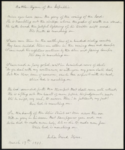
Battle hymn of the republic
93.
Circular world map
94.
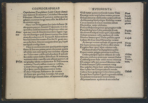
Cosmographiae introductio
95.
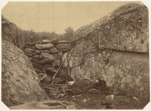
Dead rebel sharpshooter at Gettysburg
96.
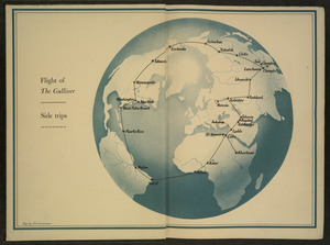
Flight of "The Gulliver"
97.
Gettysburg battle-field : Battle fought at Gettysburg, Pa., July 1st, 2d & 3d, 1863 by the Federal and Confederate armies,...
98.
Little Round Top, Gettysburg, July 1863
99.
Map of American camp in New Jersey and surrounding countryside
100.
Map of explorations and surveys in New Mexico and Utah made under the direction of the Secretary of War by Capt. J. N. Macomb...
‹ Prev
Next ›
1
2
3
4
5
6