Toggle navigation
LMEC Home
Exhibitions
Georeferencing
Tools for Teachers
Collections
My Favorites
Sign Up / Log In
Search
Search the map portal
Map Collection
Map Collection
Map Sets
Search
Search
Search for
Search In
All Fields
Creator
Title
Subject
Place
Search All Digital Collections
Advanced Search
429 Results
My Search
Start Over
More Like
commonwealth:2v242c61w
Remove constraint More Like: commonwealth:2v242c61w
Filter your Search
Place
North and Central America
380
United States
242
North America
69
Canada
62
New York
49
Pennsylvania
43
New Jersey
20
Asia
17
more
Place
»
Topic
North America--Maps--Early works to 1800
60
United States--Maps--Early works to 1800
43
Canada--Maps--Early works to 1800
38
Pennsylvania--Maps--Early works to 1800
37
New York (State)--Maps--Early works to 1800
34
New Jersey--Maps--Early works to 1800
17
Northeastern States--Maps--Early works to 1800
16
New England--Maps--Early works to 1800
14
more
Topic
»
Date
Date range begin
–
Date range end
Current results range from
1623
to
1999
View distribution
Creator
Jefferys, Thomas, -1771
22
Faden, William, 1749-1836
17
Bellin, Jacques Nicolas, 1703-1772
16
Robert Sayer and John Bennett (Firm)
15
Gibson, J. (John), active 1750-1792
14
Carleton, Osgood, 1742-1816
13
Sayer, Robert, 1725-1794
13
Kitchin, Thomas, 1719-1784
11
more
Creator
»
Format
Maps/Atlases
427
Manuscripts
5
Paintings
3
Ephemera
1
Objects/Artifacts
1
Prints
1
Georeferenced
Yes
4
No
425
Collection
MacLean Collection Map Library
379
American Revolutionary War-Era Maps
371
Norman B. Leventhal Map & Education Center Collection
25
New York Public Library Collection
12
Richard H. Brown Revolutionary War Map Collection at Mount Vernon
8
British Library Collection
2
Mapping Boston Collection
2
Sidney R. Knafel Map Collection at Phillips Academy
2
more
Collection
»
Available to use
Creative Commons license
24
No known restrictions
23
Search Constraints
Sort by relevance
relevance
title
date (asc)
date (desc)
Number of results to display per page
20 per page
10
per page
20
per page
50
per page
100
per page
View results as:
grid view
map view
Search Results
1.
Karte von Neu England, Neu Yorck und Pensilvanien : sur Allgemeinen historie der reisen
2.
New Engelland, New York, New Yersey und Pensilvania
3.
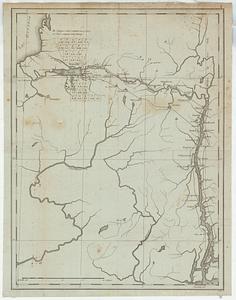
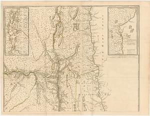
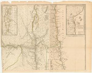
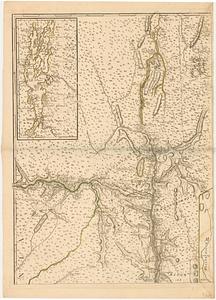
La Pensilvania, la Nuova York, il Jersey Settentrio[na]le : con la parte occidentale del Connecticut, Massachusset-s-bay e...
4.
Pensylvania Nova Jersey et Nova York cum Regionibus ad Fluvium Delaware in America sitis
5.
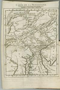
Carte de la Pensilvanie
6.
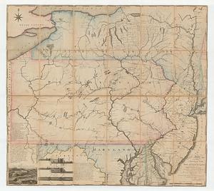
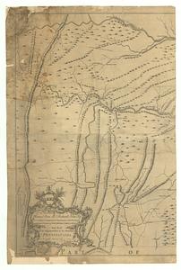
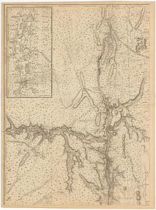
A map exhibiting a general view of the roads and inland navigation of Pennsylvania, and part of the adjacent states :...
7.
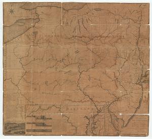
A map exhibiting a general view of the roads and inland navigation of Pennsylvania, and part of the adjacent states :...
8.
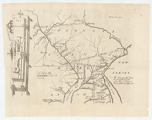
Map of part of Pennsylvania & Maryland intended to illustrate proposals for a communication between the waters of the Delaware...
9.
Map of Pennsylvania
10.
A map of Pennsylvania exhibiting not only the improved parts of that province, but also its extensive frontiers : laid down...
11.
A map of the state of Pennsylvania
12.
A new map of the western parts of Virginia, Pennsylvania, Maryland and North Carolina : comprehending the river Ohio, and all...
13.
Pennsylvania
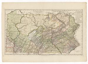
14.
To the honourable Thomas Penn and Richard Penn esq.rs true & absolute proprietaries & governours of the province of...
15.
A map of the province of New York, with part of Pensilvania, and New England
16.
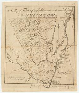
A map of Tottin & Crosfields purchase & the waters adjacent in the state of New-York
17.
Map of western New York state, marking land plots around Lac Oneida
18.
Province de New-York en 4. feuilles
19.
Province de New-York en 4. feuilles
20.
Province de New-York en 4. feuilles par Montresor
‹ Prev
Next ›
1
2
3
4
5
…
21
22


![La Pensilvania, la Nuova York, il Jersey Settentrio[na]le](https://bpldcassets.blob.core.windows.net/derivatives/images/commonwealth:z603vq53g/image_thumbnail_300.jpg)