Toggle navigation
LMEC Home
Exhibitions
Georeferencing
Tools for Teachers
Collections
My Favorites
Sign Up / Log In
Search
Search the map portal
Map Collection
Map Collection
Map Sets
Search
Search
Search for
Search In
All Fields
Creator
Title
Subject
Place
Search All Digital Collections
Advanced Search
151 Results
My Search
Start Over
More Like
commonwealth:1z40rw72s
Remove constraint More Like: commonwealth:1z40rw72s
Filter your Search
Place
North and Central America
140
United States
137
Massachusetts
116
Middlesex (county)
17
Barnstable (county)
10
Bristol (county)
9
Plymouth (county)
8
Dukes (county)
7
more
Place
»
Topic
Massachusetts--Maps
22
Martha's Vineyard (Mass.)--Maps
8
Cape Cod (Mass.)--Maps
6
Coasts--Massachusetts--Maps
5
Dedham (Mass.)--Maps
4
Election districts--Massachusetts--Maps
4
Land use--Massachusetts--Maps
4
Massachusetts--Administrative and political divisions--Election districts--Maps
4
more
Topic
»
Date
Date range begin
–
Date range end
Current results range from
1860
to
2010
View distribution
Creator
Applied Geographics, Inc.
61
MassGIS (Office : Mass.)
55
Massachusetts. Executive Office of Environmental Affairs
31
Geological Survey (U.S.)
9
Massachusetts Bays Program
8
Massachusetts Coastal Zone Management Office
8
National Ocean Survey
6
Massachusetts. Department of Environmental Protection
4
more
Creator
»
Format
Maps/Atlases
150
Ephemera
1
Georeferenced
Yes
1
No
150
Collection
Norman B. Leventhal Map & Education Center Collection
151
Applied Geographics, Inc. Records
143
Boston and New England Maps
122
Urban Maps
28
Maritime Charts and Atlases
19
Available to use
No known restrictions
151
Search Constraints
Sort by relevance
relevance
title
date (asc)
date (desc)
Number of results to display per page
20 per page
10
per page
20
per page
50
per page
100
per page
View results as:
grid view
map view
Search Results
141.
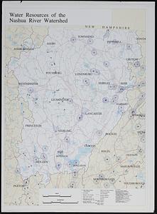
Water resources of the Nashua River watershed
142.
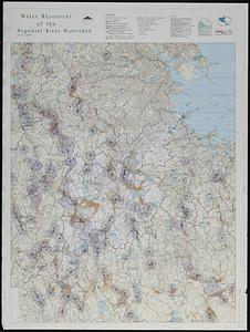
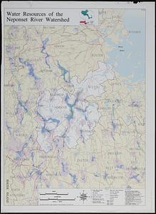
Water resources of the Neponset River watershed
143.
Water resources of the Neponset River watershed
144.
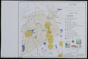
Water supply resources, Weymouth-13 site : CA/THT
145.
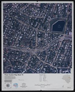
Water system map sheet 76 city of Newton, Mass.
146.
Wellhead protection areas in southeastern Massachusetts
147.
Wellhead protection areas in southeastern Massachusetts
148.
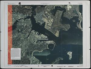
Winthrop/Boston Massachusetts : [coastal high hazard area base map]
149.
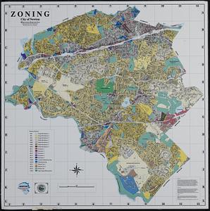
Zoning city of Newton, Massachusetts
150.
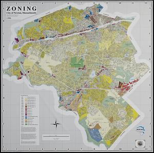
Zoning city of Newton, Massachusetts
151.
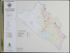
Zoning map : town of Dedham, Norfolk County, Massachusetts
‹ Prev
Next ›
1
2
…
4
5
6
7
8