Search Constraints
Search Results
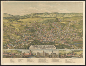
5363. North Adams, Mass.

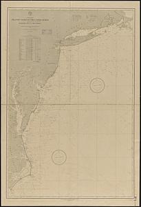
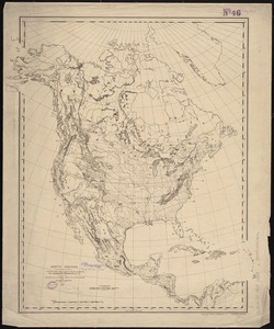
5364. North America

5365. North America

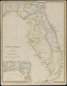
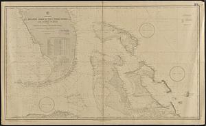
5368. North America : Florida

5369. North America


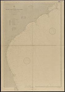
5371. North America


5374. North America

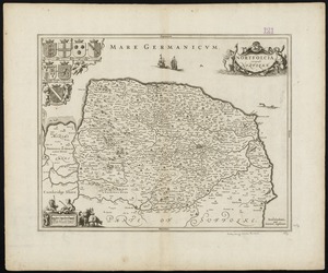
5375. North America

5376. North America