Search Constraints
Search Results
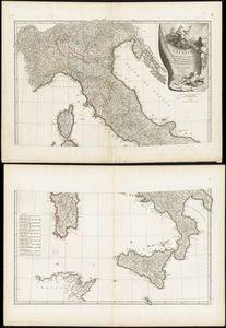
3662. Italie

3663. Italy
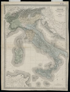
3664. Italy

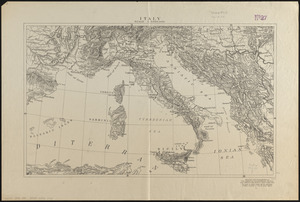
3665. Italy

3666. Italy


3668. Italy with Vatican City


3672. Jackson County, Wis.

3673. Jamaica


3678. Jamaica Pond master plan

