Toggle navigation
LMEC Home
Exhibitions
Georeferencing
Tools for Teachers
Collections
My Favorites
Sign Up / Log In
Search
Search the map portal
Map Collection
Map Collection
Map Sets
Search
Search
Search for
Search In
All Fields
Creator
Title
Subject
Place
Search All Digital Collections
Advanced Search
8825 Results
My Search
Start Over
More Like
commonwealth:1257bw59f
Remove constraint More Like: commonwealth:1257bw59f
Filter your Search
Place
North and Central America
6,119
United States
5,041
Massachusetts
2,115
Europe
1,359
Suffolk (county)
1,292
Boston
1,265
Canada
448
Asia
422
more
Place
»
Topic
Boston (Mass.)--Maps
746
United States--Maps
278
Real property--Massachusetts--Boston--Maps
254
City planning--Massachusetts--Boston--Maps
217
Landowners--Massachusetts--Boston--Maps
170
Massachusetts--Maps
164
Urban renewal--Massachusetts--Boston--Maps
124
New England--Maps
103
more
Topic
»
Date
Date range begin
–
Date range end
Current results range from
1482
to
2023
View distribution
Creator
United States. Hydrographic Office
594
Boston Redevelopment Authority
222
O.H. Bailey & Co
148
Des Barres, Joseph F. W. (Joseph Frederick Wallet), 1722-1824
124
United States. Post Office Dept
120
Ptolemy, 2nd cent
100
Walling, Henry Francis, 1825-1888
94
Geological Survey (U.S.)
87
more
Creator
»
Format
Maps/Atlases
8,766
Manuscripts
215
Prints
56
Books
36
Objects/Artifacts
10
Drawings/Illustrations
8
Posters
4
Georeferenced
Yes
885
No
7,940
Collection
Norman B. Leventhal Map & Education Center Collection
8,596
Boston and New England Maps
2,401
Urban Maps
2,125
Maritime Charts and Atlases
1,081
American Revolutionary War-Era Maps
638
Boston Redevelopment Authority Collection
256
Massachusetts Real Estate Atlases
38
Mapping Boston Collection
20
more
Collection
»
Available to use
No known restrictions
8,603
Creative Commons license
69
Search Constraints
Sort by relevance
relevance
title
date (asc)
date (desc)
Number of results to display per page
20 per page
10
per page
20
per page
50
per page
100
per page
View results as:
grid view
map view
Search Results
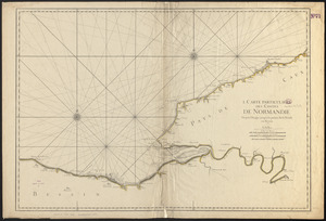
3461.
I. Carte particulière des costes de Normandie depuis Dieppe jusqu'à la Pointe Percée en Bessin
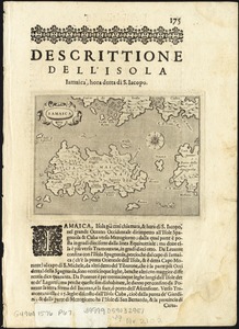
3462.
Iamaica
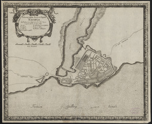
3463.
Ichnographia arcis et oppidi Nicopiae : in Falstria in eo statu uti a Ra. Mte. Sueciae occupata fuit d. 28. Apr. 1659
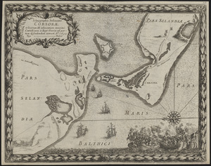
3464.
Ichnographia delineatio Corsorae et locorum illi adiacentium maximè Castelli novi à Rege Sueciae ad portum defendendum...
3465.
Ichnographia Helsingorae et Arcis Croneburgensis quae auspicio Regis Sueciæ, à Comite Carolo Gust. Wrangelio Regni Sueciæ...
3466.
Ichnographia munitissimæ urbis Christianstad Seren. Regi Sueciæ vi pactorum Roeschildensium traditæ vna cum representatione...
3467.
Ichnographia Nakscoviae muniti Laalandiae oppidi, ut et stationum ac operum quibus primum a Regni Archithalasso, Illustriss:...
3468.
Ichnographia oppidi et castri Marieburgi in Prussia Regali, a foederatis Austriacorum, et Polonorum exercitibus, d. 12. Iulij...
3469.
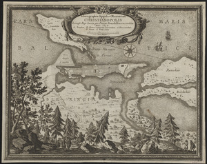
Ichnographia oppidi et munimenti Christianopolis Sereniss. Rege Sueciae per Pacem Rotschildensem traditae anno 1658
3470.
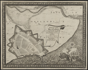
Ichnographia Rutcopiae Langelandiae oppidi post occupatam insulam à S.R.M. Sveciae muniri continuatae anno 1659
3471.
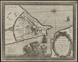
Ichnographia Staekae in insula Moënia : quae post insulam auspicio Regis Sueciae à Celsissimo Principe et Comite Palatino...
3472.
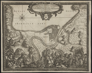
Ichnographia urbis Nidrosiae vulgo Dronheem in Norwegia eo statu, quo S.R.M. Sueciae vi pacis Rothschildica initae à Ser. Rege...
3473.
Ierusalem, et suburbia eius, sicut tempore Christi floruit c[um] locis, in quib[us] Christ[us] pass[us] est: que religiose a...
3474.
II Tabula moderna Aphrice
3475.
[Illinois]
3476.
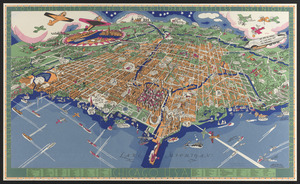
[Illustrated historical map of Shanghai]
3477.
An illustrated map of Chicago : youthful city of the big shoulders, restless, ingenious, wilful, violent, proud to be alive!
3478.
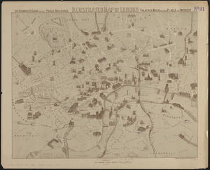
Illustrated map of London, or stranger's guide to the public buildings, theatres, music halls, & and all places of interest
3479.
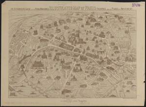
Illustrated map of Paris : or stranger's guide to the public buildings, theatres, and all places of amusement
3480.
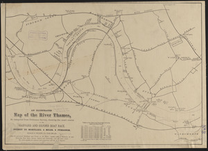
An illustrated map of the River Thames, as compiled from Ordnance Survey, showing the exact course of the Harvard and Oxford...
‹ Prev
Next ›
1
2
…
170
171
172
173
174
175
176
177
178
…
441
442
![Ierusalem, et suburbia eius, sicut tempore Christi floruit c[um] locis, in quib[us] Christ[us] pass[us] est: que religiose a Christianis obseruata, etiam n[um] venerationi habent](https://bpldcassets.blob.core.windows.net/derivatives/images/commonwealth:2b88qf59p/image_thumbnail_300.jpg)
![[Illinois]](https://bpldcassets.blob.core.windows.net/derivatives/images/commonwealth:4m90f716w/image_thumbnail_300.jpg)
![[Illustrated historical map of Shanghai]](https://bpldcassets.blob.core.windows.net/derivatives/images/commonwealth:qb98n805r/image_thumbnail_300.jpg)