Toggle navigation
LMEC Home
Exhibitions
Georeferencing
Tools for Teachers
Collections
My Favorites
Sign Up / Log In
Search
Search the map portal
Map Collection
Map Collection
Map Sets
Search
Search
Search for
Search In
All Fields
Creator
Title
Subject
Place
Search All Digital Collections
Advanced Search
8638 Results
My Search
Start Over
More Like
commonwealth:1257bc93n
Remove constraint More Like: commonwealth:1257bc93n
Filter your Search
Place
North and Central America
5,882
United States
4,802
Massachusetts
2,064
Europe
1,388
Suffolk (county)
1,040
Boston
1,013
Canada
449
Asia
436
more
Place
»
Topic
Boston (Mass.)--Maps
581
United States--Maps
279
Real property--Massachusetts--Boston--Maps
175
Massachusetts--Maps
161
Landowners--Massachusetts--Boston--Maps
133
North America--Maps--Early works to 1800
103
New England--Maps
101
Europe--Maps
79
more
Topic
»
Date
Date range begin
–
Date range end
Current results range from
1482
to
2023
View distribution
Creator
United States. Hydrographic Office
595
O.H. Bailey & Co
148
Des Barres, Joseph F. W. (Joseph Frederick Wallet), 1722-1824
123
United States. Post Office Dept
120
Ptolemy, 2nd cent
100
Walling, Henry Francis, 1825-1888
94
Geological Survey (U.S.)
86
Jefferys, Thomas, -1771
85
more
Creator
»
Format
Maps/Atlases
8,579
Manuscripts
215
Prints
56
Books
36
Objects/Artifacts
10
Drawings/Illustrations
8
Posters
4
Georeferenced
Yes
869
No
7,769
Collection
Norman B. Leventhal Map & Education Center Collection
8,638
Boston and New England Maps
2,219
Urban Maps
1,984
Maritime Charts and Atlases
1,083
American Revolutionary War-Era Maps
616
Boston Redevelopment Authority Collection
87
Available to use
No known restrictions
8,496
Creative Commons license
47
Search Constraints
Sort by relevance
relevance
title
date (asc)
date (desc)
Number of results to display per page
20 per page
10
per page
20
per page
50
per page
100
per page
View results as:
grid view
map view
Search Results
3561.
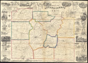
Map of Greene County, Ohio
3562.
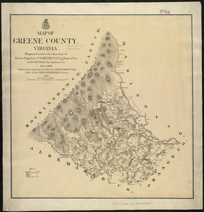
Map of Greene County, Virginia
3563.
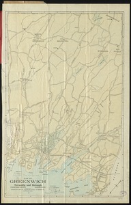
Map of Greenwich, township and borough, Fairfield County, Connecticut
3564.
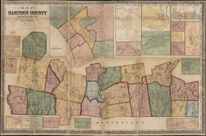
Map of Hampden County, Massachusetts : based upon the trigonometrical survey of the state
3565.
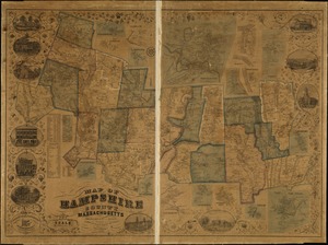
Map of Hampshire County, Massachusetts
3566.
Map of Hampton Roads and Norfolk Harbor : showing the location of Fortress Monroe & Forts Calhoun & Norfolk : from the latest...
3567.
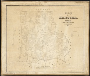
Map of Hanover, Mass
3568.
Map of Havana and Havana Harbor showing the fortifications and public buildings
3569.
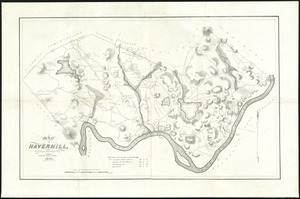
Map of Haverhill, Massachusetts
3570.
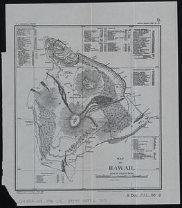
Map of Hawaii
3571.
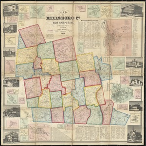
Map of Hillsboro Co., New Hampshire
3572.
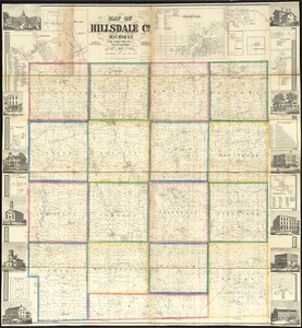
Map of Hillsdale Co., Michigan
3573.
Map of Ho-De-No-Sau-Nee-Ga or the people of the long house : compiled 1851 by Lewis H. Morgan & Ely S. Parker a Seneca sachem...
3574.
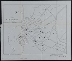
Map of Honolulu
3575.
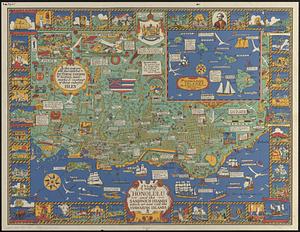
A map of Honolulu and the Sandwich Islands which we now call the Hawaiian Islands
3576.
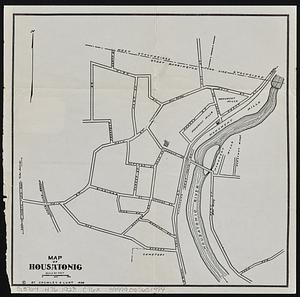
Map of Housatonic
3577.
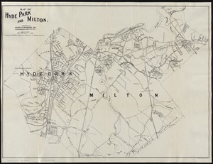
Map of Hyde Park and Milton
3578.
Map of Hyde Park and Milton
3579.
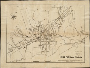
Map of Hyde Park and Vicinity : Norfolk County, Mass
3580.
Map of Illinois
‹ Prev
Next ›
1
2
…
175
176
177
178
179
180
181
182
183
…
431
432