Toggle navigation
LMEC Home
Exhibitions
Georeferencing
Tools for Teachers
Collections
My Favorites
Sign Up / Log In
Search
Search the map portal
Map Collection
Map Collection
Map Sets
Search
Search
Search for
Search In
All Fields
Creator
Title
Subject
Place
Search All Digital Collections
Advanced Search
8873 Results
My Search
Start Over
More Like
commonwealth:1257b986t
Remove constraint More Like: commonwealth:1257b986t
Filter your Search
Place
North and Central America
6,104
United States
5,020
Massachusetts
2,139
Europe
1,396
Suffolk (county)
1,219
Boston
1,192
Canada
449
Asia
438
more
Place
»
Topic
Boston (Mass.)--Maps
752
United States--Maps
282
Real property--Massachusetts--Boston--Maps
195
City planning--Massachusetts--Boston--Maps
168
Massachusetts--Maps
166
Landowners--Massachusetts--Boston--Maps
142
New England--Maps
104
North America--Maps--Early works to 1800
103
more
Topic
»
Date
Date range begin
–
Date range end
Current results range from
1482
to
2023
View distribution
Creator
United States. Hydrographic Office
595
Boston Redevelopment Authority
171
O.H. Bailey & Co
148
Des Barres, Joseph F. W. (Joseph Frederick Wallet), 1722-1824
124
United States. Post Office Dept
120
Ptolemy, 2nd cent
100
Walling, Henry Francis, 1825-1888
94
Geological Survey (U.S.)
87
more
Creator
»
Format
Maps/Atlases
8,813
Manuscripts
215
Prints
56
Books
36
Objects/Artifacts
10
Drawings/Illustrations
8
Posters
5
Georeferenced
Yes
885
No
7,988
Collection
Norman B. Leventhal Map & Education Center Collection
8,723
Boston and New England Maps
2,370
Urban Maps
2,153
Maritime Charts and Atlases
1,083
American Revolutionary War-Era Maps
638
Boston Redevelopment Authority Collection
203
Mapping Boston Collection
20
Massachusetts Real Estate Atlases
12
more
Collection
»
Available to use
No known restrictions
8,676
Creative Commons license
70
Search Constraints
Sort by relevance
relevance
title
date (asc)
date (desc)
Number of results to display per page
20 per page
10
per page
20
per page
50
per page
100
per page
View results as:
grid view
map view
Search Results
261.
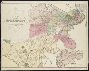
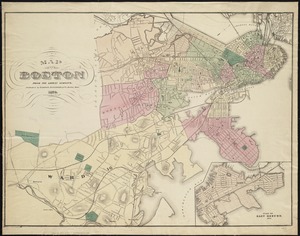
Map of Boston from the latest surveys
262.
Map of Boston from the latest surveys
263.
Map of Boston from the latest surveys
264.
Map of Boston from the latest surveys
265.
Map of Boston from the latest surveys
266.
Map of Boston from the latest surveys
267.
Map of Boston Harbor
268.
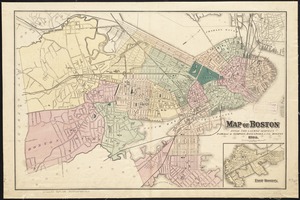
Map of Boston in the state of Massachusetts
269.
Map of Boston postal stations
270.
Map of Boston proper
271.
Map of Boston proper, Charlestown, South Boston and East Boston : showing original territory of old Boston, the areas filled...
272.
Map of Boston showing location of the Lenox
273.
[Map of Boston, showing surface lines, proposed elevated lines, connecting surface lines and route of subway
274.
Map of central Boston and Cambridge
275.
Map of Dorchester, Roxbury, and West Roxbury
276.
Map of Hyde Park and Milton
277.
Map of Massachusetts
278.
[Map of New England, 31st]
279.
Map of part of Boston, Mass
280.
Map of public transportation routes in Greater Boston served by the Massachusetts Bay Transportation Authority comprising 64...
‹ Prev
Next ›
1
2
…
10
11
12
13
14
15
16
17
18
…
443
444


![[Map of New England, 31st]](https://bpldcassets.blob.core.windows.net/derivatives/images/commonwealth:wd3763094/image_thumbnail_300.jpg)

