Search Constraints
Search Results
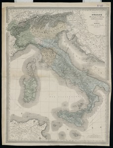
3481. Italie

3482. Italy
3483. Italy

3484. Italy

3485. Italy


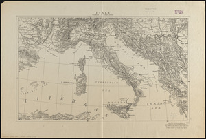
3487. Italy with Vatican City


3491. Jackson County, Wis.

3492. Jamaica


3497. Jamaica Pond master plan


