Toggle navigation
LMEC Home
Exhibitions
Georeferencing
Tools for Teachers
Collections
My Favorites
Sign Up / Log In
Search
Search the map portal
Map Collection
Map Collection
Map Sets
Search
Search
Search for
Search In
All Fields
Creator
Title
Subject
Place
Search All Digital Collections
Advanced Search
8721 Results
My Search
Start Over
More Like
commonwealth:0z709447x
Remove constraint More Like: commonwealth:0z709447x
Filter your Search
Place
North and Central America
5,949
United States
4,864
Massachusetts
2,079
Europe
1,396
Suffolk (county)
1,047
Boston
1,019
Canada
450
Asia
438
more
Place
»
Topic
Boston (Mass.)--Maps
586
United States--Maps
282
Real property--Massachusetts--Boston--Maps
175
Massachusetts--Maps
162
Landowners--Massachusetts--Boston--Maps
133
North America--Maps--Early works to 1800
103
New England--Maps
102
Manuscript maps
84
more
Topic
»
Date
Date range begin
–
Date range end
Current results range from
1482
to
2023
View distribution
Creator
United States. Hydrographic Office
595
O.H. Bailey & Co
148
Des Barres, Joseph F. W. (Joseph Frederick Wallet), 1722-1824
123
United States. Post Office Dept
120
Ptolemy, 2nd cent
100
Walling, Henry Francis, 1825-1888
94
Geological Survey (U.S.)
86
Jefferys, Thomas, -1771
85
more
Creator
»
Format
Maps/Atlases
8,661
Manuscripts
241
Prints
56
Books
36
Objects/Artifacts
10
Drawings/Illustrations
8
Posters
5
Georeferenced
Yes
869
No
7,852
Collection
Norman B. Leventhal Map & Education Center Collection
8,699
Boston and New England Maps
2,233
Urban Maps
2,023
Maritime Charts and Atlases
1,083
American Revolutionary War-Era Maps
640
Boston Redevelopment Authority Collection
87
Library of Congress Collection
22
Available to use
No known restrictions
8,554
Creative Commons license
72
Search Constraints
Sort by relevance
relevance
title
date (asc)
date (desc)
Number of results to display per page
20 per page
10
per page
20
per page
50
per page
100
per page
View results as:
grid view
map view
Search Results
61.
A general & particular plan of the island of Castle William near Boston : shewing the works in their original & present state,...
62.
Map of Stony and Verplanck Points on the Hudson River as fortified by Sir Henry Clinton June 1779
63.
Map of the north shore of Lake Pontchartrain between Bayou Chenchuba and Bayou Lacombe, Louisiana
64.
Map of the Rigolet and the mouth of the Pearl River, Louisiana and Mississippi
65.
A Map of the Trenton and New-Brunswick Turnpike-road
66.
Map of the world
67.
Mapa de las locaciones del Distrito de la Na Feliciana
68.
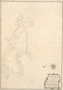
Mapa de las locaciones del Distrito de Manchack
69.
Part of a map of the Hudson Highlands showing Forts Clinton and Montgomery
70.
Plan des ouvrages faits à York-town en Virginie
71.
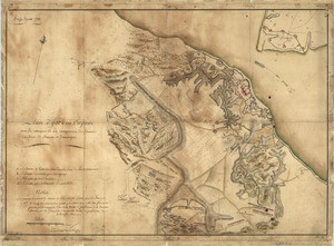
Plan of the attack of Fort Clinton and Montgomery which where [sic] stormed by His Majesty's forces : under the command of Sr....
72.
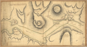
A plan of the Forts Montgomery & Clinton : as taken by His Majesty's forces under the command of Genl. Sr. Henry Clinton the...
73.
Plan of the Isle aux Noix, in the River Richelieu, and Province of Canada
74.
Plano de la Baía de Guantánamo, en la ysla de Cuva, cuya boca se alla en latitud N. 20 gs. y en la longitd. de Thenerife 301...
75.
Portion of a map of Feliciana District, Spanish Louisiana, from the Lac de la Croix to Thompson's Creek
76.
Position du camp de l'armée combinée a Philipsburg du 6 juillet au 19 aoust
77.
Siege d'York, 1781 : Plan d'York en Virginie avec les attaques et les campemens de l'Armée combinée de France et d'Amérique
78.
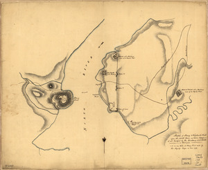
Sketch of Forts Clinton & Montgomery : stormed the 6th Octob. 1777 by the troops under the command of Sir Henry Clinton, K.B.,...
79.
Sketch of Stoney & Verplank's Points upon the North River : as taken possession of, and fortified by His Excellency Sir H:...
80.
Sketch of the harbour of Charles Town
‹ Prev
Next ›
1
2
3
4
5
6
7
8
…
436
437


![Plan of the attack of Fort Clinton and Montgomery which where [sic] stormed by His Majesty's forces](https://bpldcassets.blob.core.windows.net/derivatives/images/commonwealth:q524nj90k/image_thumbnail_300.jpg)