Search Constraints
Search Results
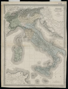
2981. Italie

2982. Italy
2983. Italy

2984. Italy

2985. Italy


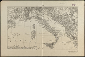
2987. Italy with Vatican City


2992. Jackson County, Wis.

2993. Jamaica


2998. Jamaica Pond master plan

