Search Constraints
Search Results
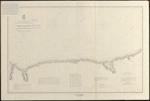
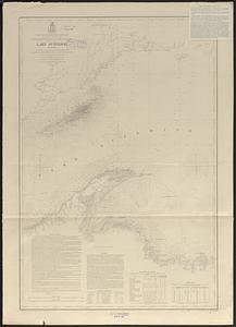
3281. Lake Ontario
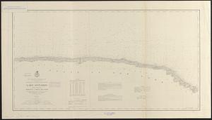
3282. Lake Ontario
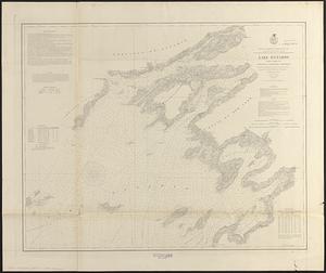
3283. Lake Ontario
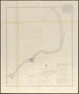
3284. Lake Ontario
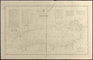
3285. Lake Ontario
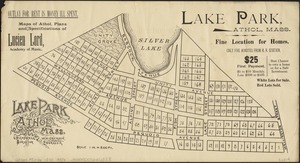
3286. Lake Park, Athol, Mass
![[Lake Pleasant, Massachusetts]](https://bpldcassets.blob.core.windows.net/derivatives/images/commonwealth:9s161g546/image_thumbnail_300.jpg)
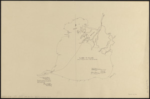
3288. Lake St. Clair
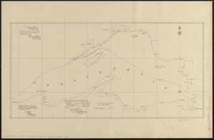
3289. Lake Superior


3295. Lancaster, Ohio : 1885

![[Land division survey of Duxbury and Pembroke, MA]](https://bpldcassets.blob.core.windows.net/derivatives/images/commonwealth:wd376285r/image_thumbnail_300.jpg)


