Toggle navigation
LMEC Home
Exhibitions
Georeferencing
Tools for Teachers
Collections
My Favorites
Sign Up / Log In
Search
Search the map portal
Map Collection
Map Collection
Map Sets
Search
Search
Search for
Search In
All Fields
Creator
Title
Subject
Place
Search All Digital Collections
Advanced Search
5925 Results
My Search
Start Over
More Like
commonwealth:cj82kk23b
Remove constraint More Like: commonwealth:cj82kk23b
Place
North and Central America
Remove constraint Place: North and Central America
Filter your Search
Place
North and Central America
[remove]
5,925
United States
4,843
Massachusetts
2,079
Suffolk (county)
1,045
Boston
1,018
Canada
449
New York
277
North America
233
more
Place
»
Topic
Boston (Mass.)--Maps
585
United States--Maps
281
Real property--Massachusetts--Boston--Maps
175
Massachusetts--Maps
162
Landowners--Massachusetts--Boston--Maps
133
North America--Maps--Early works to 1800
103
New England--Maps
102
City planning--Massachusetts--Boston--Maps
67
more
Topic
»
Date
Date range begin
–
Date range end
Current results range from
1525
to
2023
1525 : 2024
1525
2024
View distribution
Creator
United States. Hydrographic Office
283
O.H. Bailey & Co
146
United States. Post Office Dept
119
Des Barres, Joseph F. W. (Joseph Frederick Wallet), 1722-1824
114
Walling, Henry Francis, 1825-1888
93
Geological Survey (U.S.)
86
Wright, John Kirtland, 1891-1969
71
Boston Redevelopment Authority
70
more
Creator
»
Format
Maps/Atlases
5,907
Manuscripts
184
Books
34
Prints
18
Drawings/Illustrations
7
Objects/Artifacts
5
Posters
3
Georeferenced
Yes
697
No
5,228
Collection
Norman B. Leventhal Map & Education Center Collection
5,925
Boston and New England Maps
2,230
Urban Maps
1,828
Maritime Charts and Atlases
623
American Revolutionary War-Era Maps
566
Boston Redevelopment Authority Collection
87
Available to use
No known restrictions
5,810
Creative Commons license
40
Search Constraints
Sort by relevance
relevance
title
date (asc)
date (desc)
Number of results to display per page
20 per page
10
per page
20
per page
50
per page
100
per page
View results as:
grid view
map view
Search Results
1.
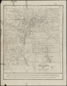
Post route map of the territories of New Mexico and Arizona with parts of adjacent states and territories showing post offices...
2.
Post route map of the territory of New Mexico showing post offices with the intermediate distances and mail routes in operation...
3.
Post route map of the territory of New Mexico showing post offices with the intermediate distances on mail routes in operation...
4.
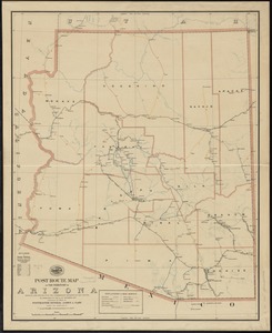
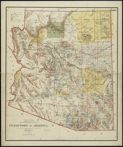
Post route map of the territory of Arizona showing post offices with the intermediate distances and mail routes in operation on...
5.
Post route map of the territory of Arizona showing post offices with the intermediate distances on mail routes in operation on...
6.
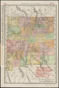
New Mexico
7.
Territory of New Mexico
8.
Arizona
9.
Rand, McNally & Co.'s Arizona
10.
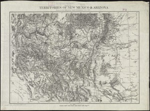
Territories of New Mexico & Arizona
11.
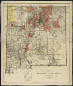
Official map of New Mexico
12.
Territory of New Mexico
13.
Arizona (Coconino County), Bright Angel quadrangle
14.
Map of Arizona Territory
15.
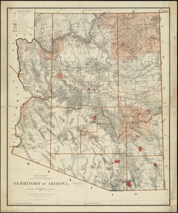
Territory of Arizona
16.
Territory of Arizona
17.
The 100th anniversary map of Abraham Lincoln's visit to Massachusetts, September 11-23, 1848
18.
1630 shoreline
19.
1879. Progress map of the U.S. Geographical Surveys west of the 100th Meridian : prepared under the direction of 1st Lieut....
20.
1903 Map of Salem and surrounding places
+
-
Redo search here
Search when I move the map
Leaflet
| ©
OpenStreetMap
contributors, ©
CartoDB
‹ Prev
Next ›
1
2
3
4
5
…
296
297