Toggle navigation
LMEC Home
Exhibitions
Georeferencing
Tools for Teachers
Collections
My Favorites
Sign Up / Log In
Search
Search the map portal
Map Collection
Map Collection
Map Sets
Search
Search
Search for
Search In
All Fields
Creator
Title
Subject
Place
Search All Digital Collections
Advanced Search
21 Results
My Search
Start Over
More Like
commonwealth:fx71gq016
Remove constraint More Like: commonwealth:fx71gq016
Place
Middlesex (county)
Remove constraint Place: Middlesex (county)
Filter your Search
Place
Massachusetts
21
Middlesex (county)
[remove]
21
North and Central America
21
United States
21
Newton
5
Cambridge
2
Everett
2
Stoneham
2
more
Place
»
Topic
Newton (Mass.)--Maps
4
Massachusetts--Maps
3
Aquifers--Massachusetts--Natick--Maps
2
Cambridge (Mass.)--Maps
2
Everett (Mass.)--Maps
2
Natick (Mass.)--Maps
2
Real property--Massachusetts--Newton--Maps
2
Real property--Massachusetts--Stoneham--Maps
2
more
Topic
»
Date
Date range begin
–
Date range end
Current results range from
1897
to
2009
1897 : 2010
1897
2010
View distribution
Creator
Applied Geographics, Inc.
13
MassGIS (Office : Mass.)
3
Massachusetts. Executive Office of Environmental Affairs
3
Bailey, Ernest W.
1
Cambridge (Mass.). Community Development Department
1
Geo. H. Walker & Co
1
Massachusetts Bays Program
1
Massachusetts Water Resources Authority
1
more
Creator
»
Format
Maps/Atlases
21
Georeferenced
Yes
2
No
19
Collection
Norman B. Leventhal Map & Education Center Collection
21
Boston and New England Maps
18
Applied Geographics, Inc. Records
17
Urban Maps
14
Available to use
No known restrictions
21
Search Constraints
Sort by relevance
relevance
title
date (asc)
date (desc)
Number of results to display per page
20 per page
10
per page
20
per page
50
per page
100
per page
View results as:
grid view
map view
Search Results
1.
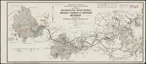
Map showing metropolitan water district, Wachusett, Sudbury and Cochituate watersheds and locations of reservoirs, aqueducts...
2.
Map of Chelsea, Everett, Revere, & Winthrop
3.
Map of Everett and vicinity
4.
Map of the City of Somerville
5.
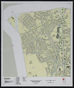
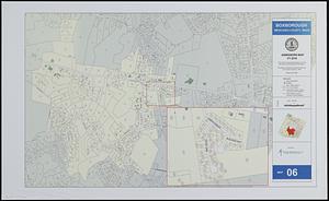
Boxborough, Middlesex County, Mass map 06
6.
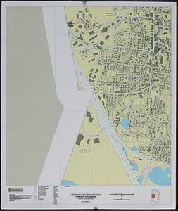
City of Waltham, Massachusetts [assessors atlas]
7.
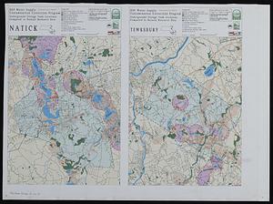
DEP water supply contamination correction program underground storage tank locations compared to natural resource data
8.
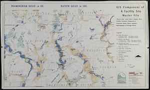
GIS component of a facility site master file : waste site' and public supply well facility locations compared to protected...
9.
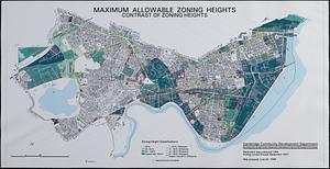
Maximum allowable zoning heights : contrast of zoning heights
10.
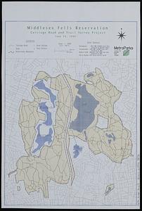
Middlesex Fells Reservation : carriage road and trail survey project
11.
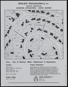
Newton, Mass. parcel mapping project
12.
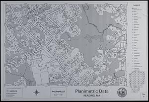
Planimetric data, Reading, MA
13.
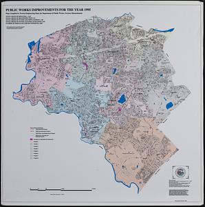
Public works improvements for the year 1995
14.
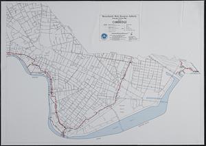
Sewerage division map city of Cambridge
15.
Stoneham drain lines checkplot map sheet 3
16.
Stoneham sewer lines checkplot map sheet 1
17.
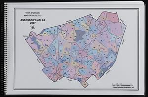
Town of Lincoln, Massachusetts assessor's atlas
18.
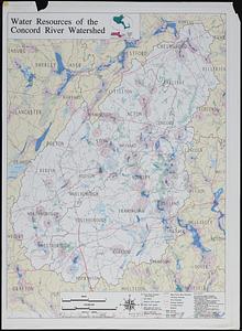
Water resources of the Concord River watershed
19.
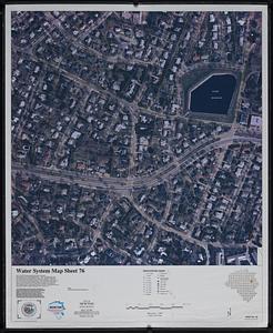
Water system map sheet 76 city of Newton, Mass.
20.
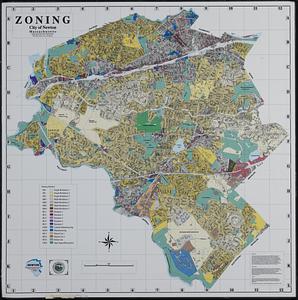
Zoning city of Newton, Massachusetts
‹ Prev
Next ›
1
2


![City of Waltham, Massachusetts [assessors atlas]](https://bpldcassets.blob.core.windows.net/derivatives/images/commonwealth:cj82r8418/image_thumbnail_300.jpg)