Toggle navigation
LMEC Home
Exhibitions
Georeferencing
Tools for Teachers
Collections
My Favorites
Sign Up / Log In
Search
Search the map portal
Map Collection
Map Collection
Map Sets
Search
Search
Search for
Search In
All Fields
Creator
Title
Subject
Place
Search All Digital Collections
Advanced Search
868 Results
My Search
Start Over
More Like
commonwealth:7h14b0336
Remove constraint More Like: commonwealth:7h14b0336
Georeferenced
Yes
Remove constraint Georeferenced: Yes
Filter your Search
Place
North and Central America
697
United States
636
Massachusetts
247
Suffolk (county)
123
Boston
116
Europe
80
Asia
38
New York
28
more
Place
»
Topic
Boston (Mass.)--Maps
80
United States--Maps
63
Massachusetts--Maps
55
Virginia--Maps
20
Mexico--Maps
18
New England--Maps
17
Europe--Maps
14
Immigrants--Massachusetts--Boston--Maps
13
more
Topic
»
Date
Date range begin
–
Date range end
Current results range from
1609
to
2017
1609 : 2018
1609
2018
View distribution
Creator
United States. General Land Office
49
United States. Post Office Dept
49
Paullin, Charles Oscar, 1868 or 1869-1944
23
Wright, John Kirtland, 1891-1969
23
Rand McNally and Company
17
Geological Survey (U.S.)
15
Geo. H. Walker & Co
13
United States. Central Intelligence Agency
11
more
Creator
»
Format
Maps/Atlases
868
Manuscripts
15
Georeferenced
Yes
[remove]
868
Collection
Norman B. Leventhal Map & Education Center Collection
868
Boston and New England Maps
209
Urban Maps
171
American Revolutionary War-Era Maps
35
Maritime Charts and Atlases
10
Available to use
No known restrictions
835
Creative Commons license
7
Search Constraints
Sort by relevance
relevance
title
date (asc)
date (desc)
Number of results to display per page
20 per page
10
per page
20
per page
50
per page
100
per page
View results as:
grid view
map view
Search Results
1.
State of Mississippi
2.
State of Mississippi
3.
Alabama
4.
Map of the state of Alabama
5.
Northern Alabama and Georgia
6.
State of Alabama
7.
Gallup's map of Louisiana
8.
Louisiana, a dream state
9.
Map of the state of Louisiana
10.
New Orleans
11.
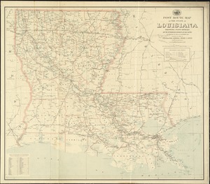
Post route map of the state of Louisiana showing post offices and the intermediate distances on mail routes in operation on the...
12.
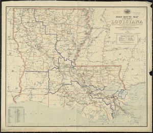
Post route map of the State of Louisiana showing post offices with the intermediate distances and mail routes in operation on...
13.
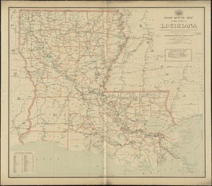
Post route map of the state of Louisiana showing post offices with the intermediate distances on mail routes in operation on...
14.
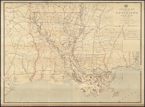
Post route map of the State of Louisiana with adjacent parts of Mississippi, Arkansas, and Texas showing post offices with the...
15.
State of Louisiana
16.
1630 shoreline
17.
1879. Progress map of the U.S. Geographical Surveys west of the 100th Meridian : prepared under the direction of 1st Lieut....
18.
1903 Map of Salem and surrounding places
19.
4 Kinten
20.
[A chart of Boston Bay and vicinity]
‹ Prev
Next ›
1
2
3
4
5
…
43
44


![[A chart of Boston Bay and vicinity]](https://bpldcassets.blob.core.windows.net/derivatives/images/commonwealth:cj82m2976/image_thumbnail_300.jpg)