Toggle navigation
LMEC Home
Exhibitions
Georeferencing
Tools for Teachers
Collections
My Favorites
Sign Up / Log In
Search
Search the map portal
Map Collection
Map Collection
Map Sets
Search
Search
Search for
Search In
All Fields
Creator
Title
Subject
Place
Search All Digital Collections
Advanced Search
13385 Results
Filter your Search
Place
North and Central America
9,353
United States
7,078
Suffolk (county)
1,664
Boston
1,621
Europe
1,035
Canada
949
Massachusetts
794
New York
532
more
Place
»
Topic
Boston (Mass.)--Maps
741
City planning--Massachusetts--Boston--Maps
418
United States--History--Revolution, 1775-1783--Maps
329
United States--Maps
315
Urban renewal--Massachusetts--Boston--Maps
254
Real property--Massachusetts--Boston--Maps
252
Massachusetts--Maps
219
Insurance surveys
197
more
Topic
»
Date
Date range begin
–
Date range end
Current results range from
1482
to
2023
View distribution
Creator
United States. Hydrographic Office
595
Boston Redevelopment Authority
403
Des Barres, Joseph F. W. (Joseph Frederick Wallet), 1722-1824
247
Royal United Services Institute for Defence and Security Studies
160
Jefferys, Thomas, -1771
154
George, III, King of Great Britain, 1738-1820
152
George, IV, King of Great Britain, 1762-1830
151
O.H. Bailey & Co
148
more
Creator
»
Format
Maps/Atlases
13,205
Manuscripts
985
Prints
102
Books
49
Drawings/Illustrations
44
Photographs
15
Objects/Artifacts
13
Documents
7
more
Format
»
Georeferenced
Yes
979
No
12,406
Collection
Norman B. Leventhal Map Center Collection
8,891
American Revolutionary War-Era Maps
3,305
Boston and New England Maps
2,804
Urban Maps
2,397
Maritime Charts and Atlases
1,150
William L. Clements Library Collection
910
Library of Congress Collection
618
Boston Redevelopment Authority Collection
475
more
Collection
»
Available to use
No known restrictions
9,952
Creative Commons license
1,677
Search Constraints
Sort by relevance
relevance
title
date (asc)
date (desc)
Number of results to display per page
20 per page
10
per page
20
per page
50
per page
100
per page
View results as:
grid view
map view
Search Results
3161.
Environs de Paris
3162.
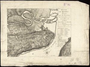
Environs de Quebec : bloque par les Americains du 8. decembre 1775 au 13. mai 1776
3163.
Environs of Boston, from Corey's Hill, Brookline, Mass
3164.
Environs of Dartmoor : compiled for the autumn manœuvers (south division), showing the various encampments, and divided into...
3165.
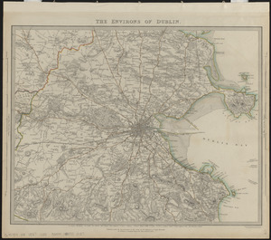
The environs of Dublin
3166.
The environs of Fort Cumberland in the Bay of Fundy
3167.
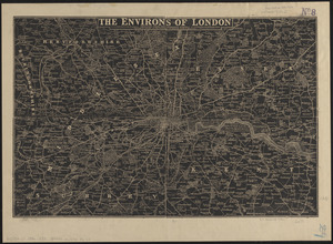
The environs of London : reduced from the Ordnance Survey
3168.
[Environs of Philadelphia]
3169.
EOEA MassGIS geographic information system transition document : The EOEA geographic information system: MassGIS
3170.
E.P. Dutton & Co.'s railroad, steam boat & stage route map of New England, New-York and Canada
3171.
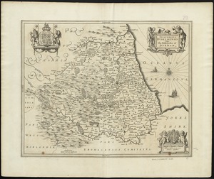
Episcopatus Dunelmensis vulgo The Bishoprike of Durham
3172.
An epitome of Sr. William Petty's large survey of Ireland divided into its 4 provinces & 32 counties ... and bridges
3173.
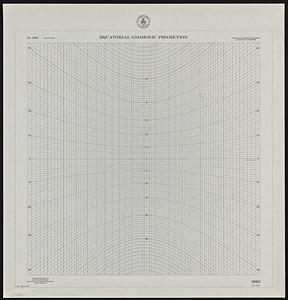
Equatorial gnomonic projection
3174.
Erez Israel = Erets Yiśraʼel : adamah ʻIvrit
3175.
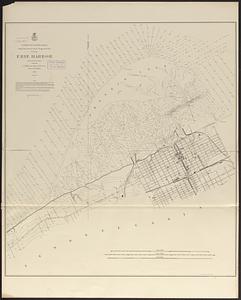
Erie Harbor
3176.
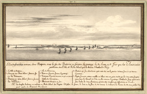
L'escadre françoise entrant dans Newport sous le feu des batteries et forcant le passage le 8 Aoust 1778 : jour que les...
3177.
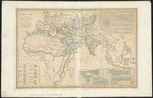
Eslam or the countries which have professed the faith of Mahomet
3178.
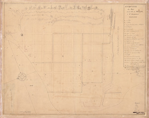
Esquisse du plan de la ville du Mole à St. Domingue
3179.
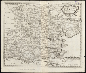
Essex
3180.
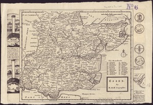
Essex
‹ Prev
Next ›
1
2
…
155
156
157
158
159
160
161
162
163
…
669
670


![[Environs of Philadelphia]](https://bpldcassets.blob.core.windows.net/derivatives/images/commonwealth:7h149x76d/image_thumbnail_300.jpg)