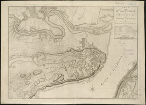
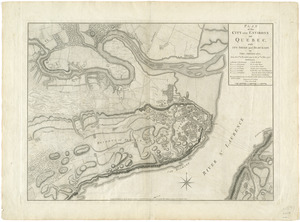
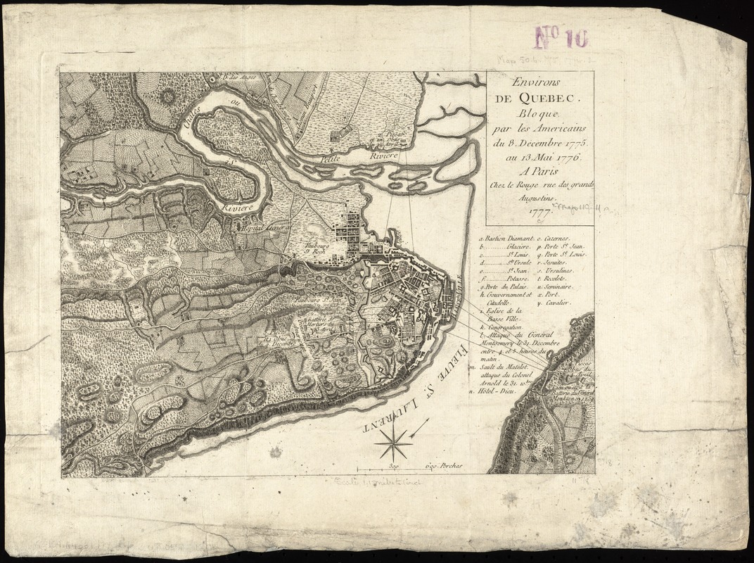
Environs de Quebec : bloque par les Americains du 8. decembre 1775 au 13. mai 1776
This map is also available in American Revolutionary Geographies Online (ARGO), a collections portal especially built for material relating to the American Revolutionary War Era. Visit ARGO to learn more about this item and explore the historical geography of North America in the late eighteenth century.
Item Information
- Title:
- Environs de Quebec : bloque par les Americains du 8. decembre 1775 au 13. mai 1776
- Creator:
- Le Rouge, Georges-Louis.
- Date:
-
1777
- Format:
-
Maps/Atlases
- Location:
-
Boston Public Library
Norman B. Leventhal Map & Education Center - Collection (local):
-
Norman B. Leventhal Map & Education Center Collection
- Subjects:
-
Québec (Québec)--History--Siege, 1775-1776--Maps--Early works to 1800
Québec (Québec)--History--Revolution, 1775-1783--Maps--Early works to 1800
- Places:
-
CanadaQuebec (province)Québec
- Extent:
- 1 map ; 23 x 30 cm.
- Terms of Use:
-
No known copyright restrictions.
No known restrictions on use.
- Publisher:
-
A Paris :
Chez le Rouge
- Scale:
-
Scale [ca. 1:72,000]
- Language:
-
French
- Notes:
-
Relief shown by hachures.
Includes historic notes and index to military emplacements and points of interest
Bound in Le Rouge's Recueil des plans de l'Amerique Septentrionale (Paris : Le Rouge, 1755).
Cataloging, conservation, and digitization made possible in part by The National Endowment for the Humanities: Exploring the human endeavor.
- Identifier:
-
06_01_006191
- Call #:
-
G3454.Q4S3 1777 .L4
- Barcode:
-
39999059021202