Toggle navigation
LMEC Home
Exhibitions
Georeferencing
Tools for Teachers
Collections
My Favorites
Sign Up / Log In
Search
Search the map portal
Map Collection
Map Collection
Map Sets
Search
Search
Search for
Search In
All Fields
Creator
Title
Subject
Place
Search All Digital Collections
Advanced Search
13385 Results
Filter your Search
Place
North and Central America
9,353
United States
7,078
Suffolk (county)
1,664
Boston
1,621
Europe
1,035
Canada
949
Massachusetts
794
New York
532
more
Place
»
Topic
Boston (Mass.)--Maps
741
City planning--Massachusetts--Boston--Maps
418
United States--History--Revolution, 1775-1783--Maps
329
United States--Maps
315
Urban renewal--Massachusetts--Boston--Maps
254
Real property--Massachusetts--Boston--Maps
252
Massachusetts--Maps
219
Insurance surveys
197
more
Topic
»
Date
Date range begin
–
Date range end
Current results range from
1482
to
2023
View distribution
Creator
United States. Hydrographic Office
595
Boston Redevelopment Authority
403
Des Barres, Joseph F. W. (Joseph Frederick Wallet), 1722-1824
247
Royal United Services Institute for Defence and Security Studies
160
Jefferys, Thomas, -1771
154
George, III, King of Great Britain, 1738-1820
152
George, IV, King of Great Britain, 1762-1830
151
O.H. Bailey & Co
148
more
Creator
»
Format
Maps/Atlases
13,205
Manuscripts
985
Prints
102
Books
49
Drawings/Illustrations
44
Photographs
15
Objects/Artifacts
13
Documents
7
more
Format
»
Georeferenced
Yes
979
No
12,406
Collection
Norman B. Leventhal Map Center Collection
8,891
American Revolutionary War-Era Maps
3,305
Boston and New England Maps
2,804
Urban Maps
2,397
Maritime Charts and Atlases
1,150
William L. Clements Library Collection
910
Library of Congress Collection
618
Boston Redevelopment Authority Collection
475
more
Collection
»
Available to use
No known restrictions
9,952
Creative Commons license
1,677
Search Constraints
Sort by relevance
relevance
title
date (asc)
date (desc)
Number of results to display per page
50 per page
10
per page
20
per page
50
per page
100
per page
View results as:
grid view
map view
Search Results
2001.
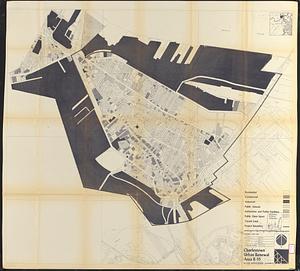
Charlestown project no. Mass r-42 (GN) : proposed treatment areas and project boundaries
2002.
Charlestown project no. Mass r-42 (GN) : population distribution
2003.
Charlestown project no. Mass r-42 (GN) : existing building coverage
2004.
Charlestown project no. Mass r-42 (GN) : existing zoning
2005.
[Charlestown Promontory, the ruins of the town after the Battle of Bunker Hill and General Howe's encampment]
2006.
Charlestown renewal area : existing land use
2007.
Charlestown renewal area : existing conditions & proposed treatment areas
2008.
Charlestown renewal area : locality map
2009.
Charlestown renewal area : location map
2010.
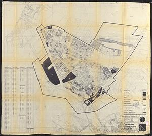
Charlestown renewal area : blighted areas
2011.
Charlestown urban renewal area Massachusetts R-55 : illustrative site plan
2012.
Charlestown urban renewal area, Massachusetts R-55 : illustrative site plan
2013.
Charlestown urban renewal area project no. Mass. R-55 Boston - Suffolk County - Massachusetts delivery parcel plan : parcel...
2014.
Charlestown urban renewal area r-42 : GNRP map no. 2
2015.
Charlestown urban renewal area r-42 : GNRP map no. 1
2016.
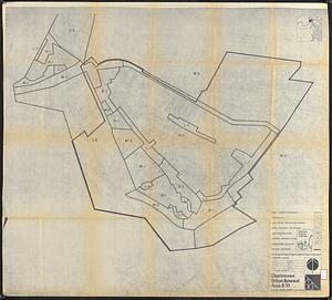
Charlestown urban renewal area r-55 : treatment areas
2017.
Charlestown urban renewal area r-55 : proposed land use
2018.
Charlestown urban renewal area r-55 : existing land use
2019.
Charlestown urban renewal area r-55 : property map and perimeter boundaries
2020.
Charlestown urban renewal area r-55 : building deficiencies
2021.
Charlestown urban renewal area r-55 : disposition parcels
2022.
Charlestown urban renewal area r-55 : right of way adjustments
2023.
Charlestown urban renewal area r-55 : building deficiencies
2024.
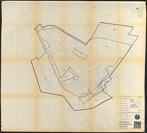
Charlestown urban renewal area r-55 : existing zoning
2025.
Charlestown urban renewal area r-55 : proposed zoning
2026.
Charlestown urban renewal area r-55 : existing land use
2027.
Charlestown urban renewal project Boston (Suffolk County) Massachusetts Mass. R-55 : topographic map
2028.
Charlestown Veterans Memorial, Charlestown, Massachusetts
2029.
Charlotte Bay
2030.
Charlotte Bay
2031.
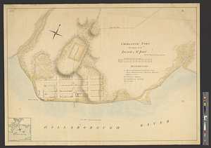
Charlotte Town the capital of the island of St. John
2032.
Charlton
2033.
Charlton City & Charlton Depot, Mass
2034.
Charlton Mills (Cotton Mill), Fall River, Mass. [insurance map]
2035.
Chart and plan of the harbour of New York & the couny. adjacent, from Sandy Hook to Kingsbridge, comprehending the whole of New...
2036.
Chart and plan of the harbour of New York & the couny. adjacent, from Sandy Hook to Kingsbridge, comprehending the whole of New...
2037.
Chart comprizing Greenland with the countries and islands about Baffin's and Hudson's Bays
2038.
Chart comprizing Greenland with the countries and islands about Baffin's and Hudson's Bays
2039.
Chart containing part of the Icy Sea with the adjacent coast of Asia and America
2040.
Chart containing the coasts of California, New Albion, and Russian discoveries to the north : with the peninsula of Kamchatka,...
2041.
Chart containing the coasts of California, New Albion, and Russian discoveries to the north : with the peninsula of Kamchatka,...
2042.
Chart containing the greater part of the South Sea to the south of the line, with islands dispersed thro' the same
2043.
Chart containing the greater part of the South Sea to the south of the line, with islands dispersed thro' the same
2044.
A chart exhibiting the normal course & velocity of the tidal current at ebb in Boston Harbor
2045.
Chart for the journal of Mr. le Mquis. de Chastellux
2046.
Chart from New York to Timber Island including Nantucket Shoals
2047.
Chart from New York to Timber Island including Nantucket shoals
2048.
Chart from New York to Timber Island including Nantucket Shoals
2049.
Chart from New York to Timber Island including Nantucket shoals
2050.
Chart no. 1 of River Ste. Marie from Point Iroquois to East Neebish
‹ Prev
Next ›
1
2
…
37
38
39
40
41
42
43
44
45
…
267
268


![[Charlestown Promontory, the ruins of the town after the Battle of Bunker Hill and General Howe's encampment]](https://bpldcassets.blob.core.windows.net/derivatives/images/commonwealth:dz010v65g/image_thumbnail_300.jpg)


![Charlton Mills (Cotton Mill), Fall River, Mass. [insurance map]](https://bpldcassets.blob.core.windows.net/derivatives/images/commonwealth:4j03df53f/image_thumbnail_300.jpg)


