Search Constraints
Search Results


13383. Westindische Inseln


13385. Westliche halbkugel


13387. Weymouth, Mass., 1880


13389. Whale chart

13390. Whale chart


13395. White Haven
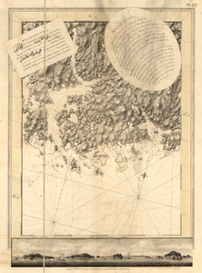
13396. White Haven

13397. White Haven
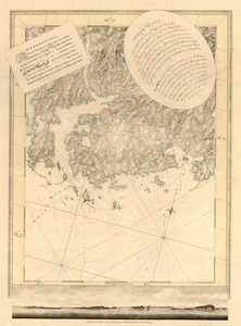
13398. White Haven

